Cof Cymru: National Historic Assets of Wales · Wales
War Memorial in All Saint's Churchyard
Llanelli, Carmarthenshire, Wales
A Grade II listed building in Llanelli, Carmarthenshire, designated on 12 March 1992.
The record
- Designation
- Listed building, Grade II
- Broad class
- Commemorative
- Date of designation
- 12 March 1992
- Community
- Llanelli
- Unitary authority
- Carmarthenshire
- Country
- Wales
- Coordinates
- 51.68511, -4.16310
- Cadw reference
- 11913
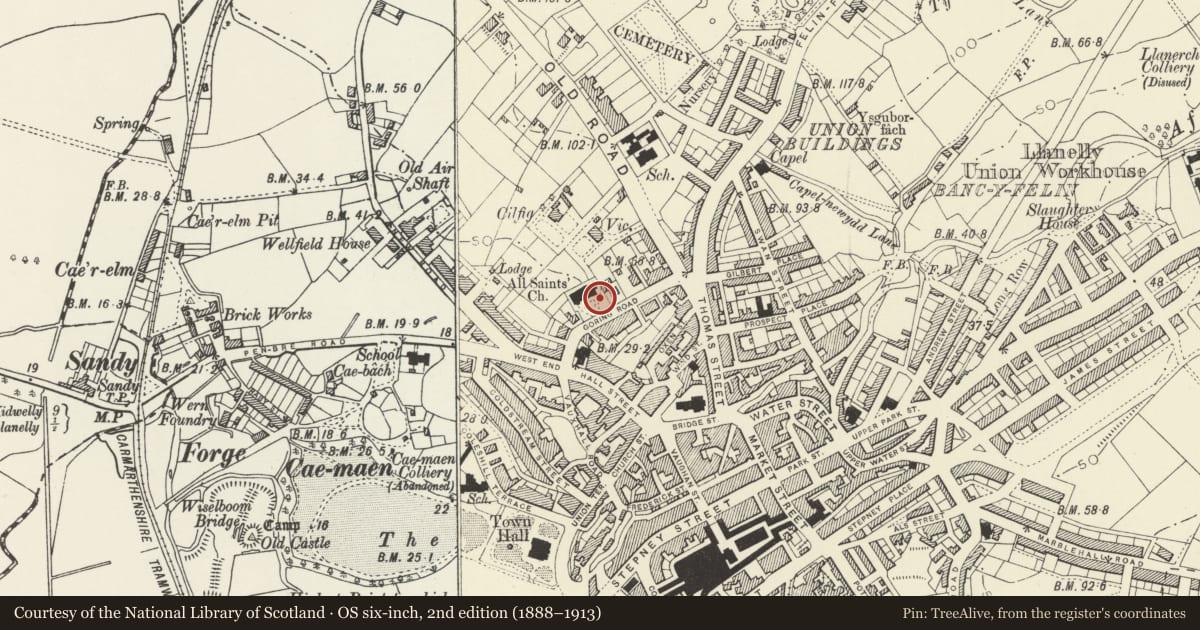
Slide toward Today to fade the historical sheet and see the modern map underneath.
David Rumsey Map Collection, Stanford LibrariesDavid Rumsey Map Collection, Stanford LibrariesNational Library of ScotlandDavid Rumsey Map Collection, Stanford LibrariesDavid Rumsey Map Collection, Stanford Libraries
5 historical maps cover this location, the earliest the 1636 map "Cornubia : Devonia, Somersetus, Dorcestria, Wiltonia, Glocestria ..." (David Rumsey Map Collection, Stanford Libraries).
Historical maps covering this location
- 1636 · Cornubia : Devonia, Somersetus, Dorcestria, Wiltonia, Glocestria ... (David Rumsey Map Collection, Stanford Libraries)
- 1637 · The fourth table of England. Cornub. Devonia, Somerset etc. (David Rumsey Map Collection, Stanford Libraries)
- 1891 · Sheet 10. Ordnance Survey of England and Wales. . (David Rumsey Map Collection, Stanford Libraries)
- 1920 · Sheet 100. Llanelly. (David Rumsey Map Collection, Stanford Libraries)
- 1963 · Map No. 4 - Local Government Commission for Wales : [Definitive maps showing proposed… (National Library of Scotland)
Cadw's description
Location
Situated some 15 m south east of tower of All Saints Church.
Exterior
Circa 1920 War Memorial in forms of granite Celtic cross with interlace decoration. Tall stem, standing on tapered base with inscription panel to front. Two granite steps beneath and 8 granite posts for chain fencing around.
Reason for designation
Group Value
Nearby in the register
- Church of All SaintsReligious, Ritual and Funeraryunder 1 mi
- Churchyard Wall & Gates to All Saints ChurchReligious, Ritual and Funeraryunder 1 mi
- 13 Goring Road including forecourt gate and railingsDomesticunder 1 mi
- 15 Goring RoadDomesticunder 1 mi
Other entries of the same register within about three miles of this one, by straight line.