Cof Cymru: National Historic Assets of Wales · Wales
Dovecote NW of Coleman Farm
Kidwelly, Carmarthenshire, Wales
A Grade II* listed building in Lower Ferry Road, Kidwelly, Carmarthenshire, designated on 5 December 1963.
The record
- Designation
- Listed building, Grade II*
- Broad class
- Agriculture and Subsistence
- Date of designation
- 5 December 1963
- Locality
- Lower Ferry Road
- Town
- Kidwelly
- Community
- Kidwelly
- Unitary authority
- Carmarthenshire
- Country
- Wales
- Coordinates
- 51.74038, -4.32394
- Cadw reference
- 11879
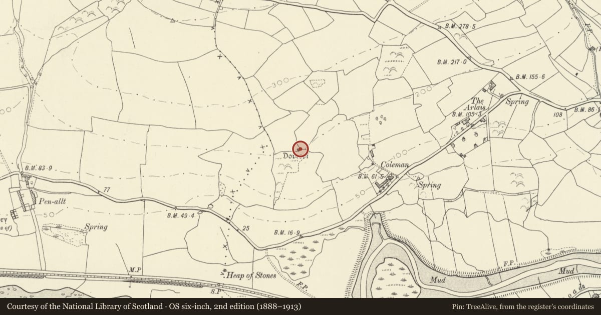
Slide toward Today to fade the historical sheet and see the modern map underneath.
David Rumsey Map Collection, Stanford LibrariesDavid Rumsey Map Collection, Stanford LibrariesDavid Rumsey Map Collection, Stanford LibrariesDavid Rumsey Map Collection, Stanford LibrariesDavid Rumsey Map Collection, Stanford Libraries
5 historical maps cover this location, the earliest the 1636 map "Cornubia : Devonia, Somersetus, Dorcestria, Wiltonia, Glocestria ..." (David Rumsey Map Collection, Stanford Libraries).
Historical maps covering this location
- 1636 · Cornubia : Devonia, Somersetus, Dorcestria, Wiltonia, Glocestria ... (David Rumsey Map Collection, Stanford Libraries)
- 1637 · The fourth table of England. Cornub. Devonia, Somerset etc. (David Rumsey Map Collection, Stanford Libraries)
- 1891 · Sheet 10. Ordnance Survey of England and Wales. . (David Rumsey Map Collection, Stanford Libraries)
- 1898 · 229 Carmarthen (Hills) (David Rumsey Map Collection, Stanford Libraries)
- 1920 · Sheet 100. Llanelly. (David Rumsey Map Collection, Stanford Libraries)
Cadw's description
Location
Situated in patch of scrub woodland at intersection of four fields on hillside some 300m NW of Coleman Farm, which is on the lower road from Kidwelly to Ferryside via St Ishmael.
History
Dovecote possibly medieval but more probably C17 or C16. It was said in 1917 to have a barely decipherable date of 1571 above door on inside (not seen 1996). Before 1870 there was a similar dovecote at Waungadog, Stockwell. Scheduled Ancient Monument.
Exterior
Rubble stone circular dovecote with corbelled stone shallow dome and circular centre hole. Dome is turf-clad, but probably originally had conical roof. Low S doorway with stone voussoirs.
Interior
Circular interior some 2.75m (9') wide and 5.8m (19') high lined with some 236 dove holes in 11 tiers, 10 tiers below shelf, one above.
Reason for designation
Listed as an extremely fine stone vaulted circular dovecote.
Nearby in the register
- Coleman Dovecotdovecoteunder 1 mi
- Kidwelly QuayMaritimeunder 1 mi
- Remains of monastic grange at Penallt FarmReligious, Ritual and Funeraryunder 1 mi
- The War Memorial and railingsReligious, Ritual and Funeraryunder 1 mi
Other entries of the same register within about three miles of this one, by straight line.