Cof Cymru: National Historic Assets of Wales · Wales
War Memorial in Morriston Park
Morriston, Swansea, Wales
A Grade II listed building in Morriston, Swansea, designated on 30 September 1993.
The record
- Designation
- Listed building, Grade II
- Broad class
- Commemorative
- Date of designation
- 30 September 1993
- Community
- Morriston
- Unitary authority
- Swansea
- Country
- Wales
- Coordinates
- 51.66803, -3.93249
- Cadw reference
- 11743
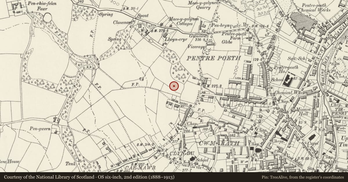
Slide toward Today to fade the historical sheet and see the modern map underneath.
David Rumsey Map Collection, Stanford LibrariesDavid Rumsey Map Collection, Stanford LibrariesDavid Rumsey Map Collection, Stanford LibrariesDavid Rumsey Map Collection, Stanford LibrariesDavid Rumsey Map Collection, Stanford Libraries
5 historical maps cover this location, the earliest the 1636 map "Cornubia : Devonia, Somersetus, Dorcestria, Wiltonia, Glocestria ..." (David Rumsey Map Collection, Stanford Libraries).
Historical maps covering this location
- 1636 · Cornubia : Devonia, Somersetus, Dorcestria, Wiltonia, Glocestria ... (David Rumsey Map Collection, Stanford Libraries)
- 1637 · The fourth table of England. Cornub. Devonia, Somerset etc. (David Rumsey Map Collection, Stanford Libraries)
- 1865 · England and Wales. England No. 6. (David Rumsey Map Collection, Stanford Libraries)
- 1891 · Sheet 10. Ordnance Survey of England and Wales. . (David Rumsey Map Collection, Stanford Libraries)
- 1897 · 247 Swansea (Hills) (David Rumsey Map Collection, Stanford Libraries)
Cadw's description
Location
Fifty metres NW of lodge at entrance of park near junction of Vicarage Road and Pleasant Street.
History
War memorial; circa 1920.
Exterior
Bronze statue of female figure (probably 'Peace') with winged head-dress holding orb on high classicising granite plinth. Inscriptions to front and rear in Welsh and English, and to sides, names of those lost in World Wars.
Nearby in the register
- Capel TabernacleReligious, Ritual and Funeraryunder 1 mi
- Seion ChapelReligious, Ritual and Funeraryunder 1 mi
- Church of St JohnReligious, Ritual and Funeraryunder 1 mi
- Danbert House (former Employment Exchange)Domesticunder 1 mi
Other entries of the same register within about three miles of this one, by straight line.