Cof Cymru: National Historic Assets of Wales · Wales
No 4 The Strand (Colonial Buildings including Ace Electrical Spares Centre)
Castle, Swansea, Wales
A Grade II listed building in Castle, Swansea, designated on 30 March 1987.
The record
- Designation
- Listed building, Grade II
- Broad class
- Commercial
- Date of designation
- 30 March 1987
- Community
- Castle
- Unitary authority
- Swansea
- Country
- Wales
- Coordinates
- 51.61947, -3.93857
- Cadw reference
- 11645
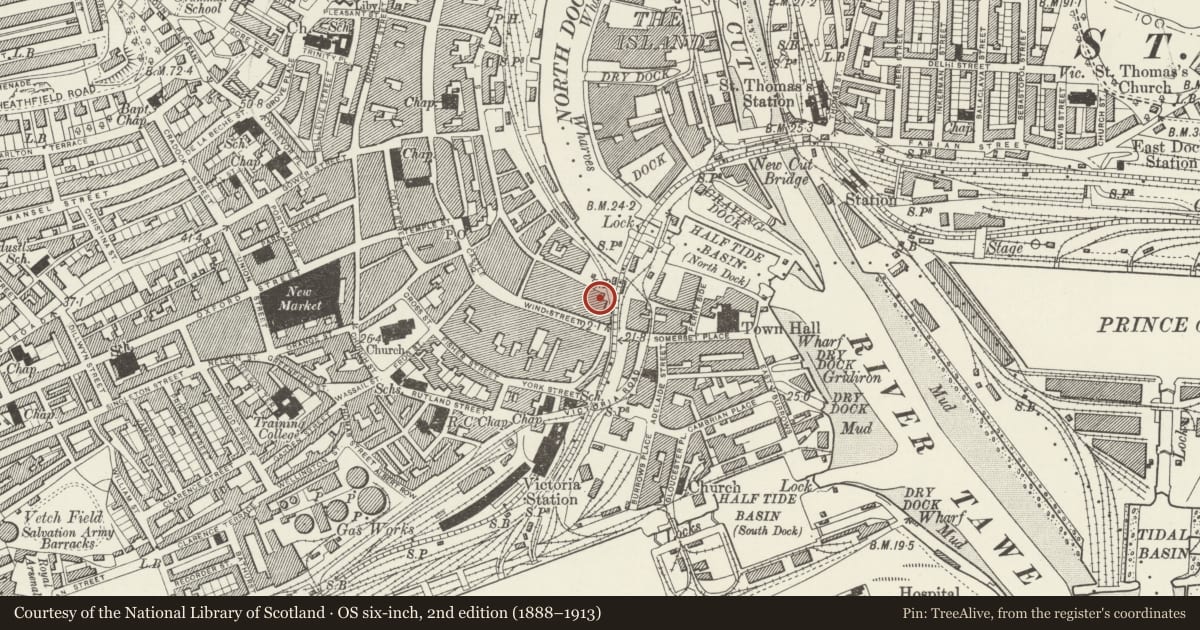
Slide toward Today to fade the historical sheet and see the modern map underneath.
David Rumsey Map Collection, Stanford LibrariesDavid Rumsey Map Collection, Stanford LibrariesDavid Rumsey Map Collection, Stanford LibrariesDavid Rumsey Map Collection, Stanford LibrariesDavid Rumsey Map Collection, Stanford Libraries
5 historical maps cover this location, the earliest the 1636 map "Cornubia : Devonia, Somersetus, Dorcestria, Wiltonia, Glocestria ..." (David Rumsey Map Collection, Stanford Libraries).
Historical maps covering this location
- 1636 · Cornubia : Devonia, Somersetus, Dorcestria, Wiltonia, Glocestria ... (David Rumsey Map Collection, Stanford Libraries)
- 1637 · The fourth table of England. Cornub. Devonia, Somerset etc. (David Rumsey Map Collection, Stanford Libraries)
- 1865 · England and Wales. England No. 6. (David Rumsey Map Collection, Stanford Libraries)
- 1891 · Sheet 10. Ordnance Survey of England and Wales. . (David Rumsey Map Collection, Stanford Libraries)
- 1897 · 247 Swansea (Hills) (David Rumsey Map Collection, Stanford Libraries)
Cadw's description
Location
End building with exposed flank facing E to Quay Parade.
History
In existence by 1806, later alterations including refacing. Originally built as sail loft with dwelling house to the quayside.
Exterior
Long 4 storey attic and basement S front, snecked rubble, slate roof with boarded lift tower. Cambered window heads, sashes to right, boarded hoist doors linked vertically in centre.
Gable end with steep corbelled parapet rising from outer pilasters, finial base; oculus to attic. 2 windows to top floor, 3 windows lower floors, cambered freestone heads with keyblocks, sashes with vertical glazing bars. Arched recesses to ground floor openings, impost stringcourse, large entrance to right.
Interior
Interior retains original structure with brick arched basement vaults supported by inverted T-girders on cross-shaped staunchions. Main floors have cross-shaped and tapered staunchions with bracket heads, supporting pitch pine cross-beams under timber floors. King-post roof construction.
Nearby in the register
- Lloyds BankCommercialunder 1 mi
- Telecom BuildingCommercialunder 1 mi
- (also known as Prospect Place)Domesticunder 1 mi
- Old Post Office Building (Now Post Office Sorting Office)Communicationsunder 1 mi
Other entries of the same register within about three miles of this one, by straight line.