Cof Cymru: National Historic Assets of Wales · Wales
Argyle Presbyterian Church of Wales
Castle, Swansea, Wales
A Grade II listed building in Castle, Swansea, designated on 30 March 1987.
The record
- Designation
- Listed building, Grade II
- Broad class
- Religious, Ritual and Funerary
- Date of designation
- 30 March 1987
- Community
- Castle
- Unitary authority
- Swansea
- Country
- Wales
- Coordinates
- 51.61737, -3.95401
- Cadw reference
- 11617
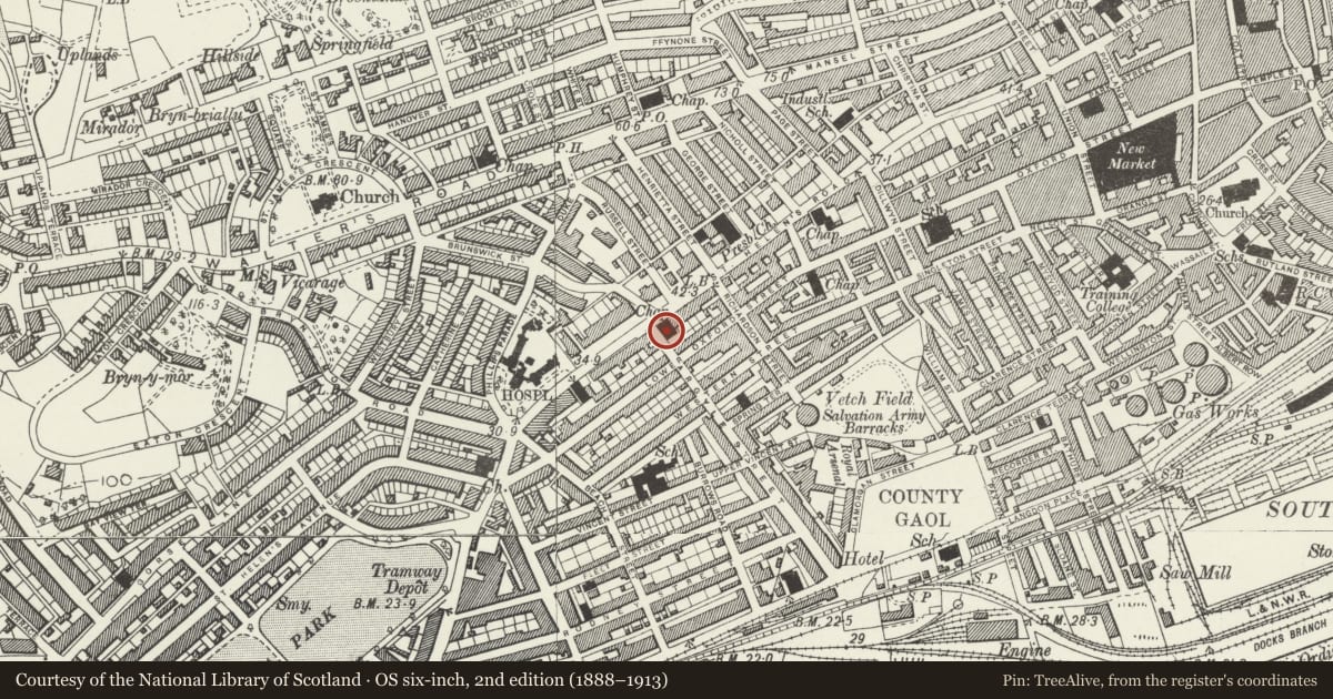
Slide toward Today to fade the historical sheet and see the modern map underneath.
David Rumsey Map Collection, Stanford LibrariesDavid Rumsey Map Collection, Stanford LibrariesDavid Rumsey Map Collection, Stanford LibrariesDavid Rumsey Map Collection, Stanford LibrariesDavid Rumsey Map Collection, Stanford Libraries
5 historical maps cover this location, the earliest the 1636 map "Cornubia : Devonia, Somersetus, Dorcestria, Wiltonia, Glocestria ..." (David Rumsey Map Collection, Stanford Libraries).
Historical maps covering this location
- 1636 · Cornubia : Devonia, Somersetus, Dorcestria, Wiltonia, Glocestria ... (David Rumsey Map Collection, Stanford Libraries)
- 1637 · The fourth table of England. Cornub. Devonia, Somerset etc. (David Rumsey Map Collection, Stanford Libraries)
- 1865 · England and Wales. England No. 6. (David Rumsey Map Collection, Stanford Libraries)
- 1891 · Sheet 10. Ordnance Survey of England and Wales. . (David Rumsey Map Collection, Stanford Libraries)
- 1897 · 247 Swansea (Hills) (David Rumsey Map Collection, Stanford Libraries)
Cadw's description
Location
On corner with Argyle Street and slightly set back downhill.
History
Founded 1873. Designed by Alfred Bucknell, architect of Sketty.
Exterior
Fine 2 storey and basement classical temple with rendered facade (over brickwork); Composite Order to tetrastyle portico in antis. Top cornice of pediment cut back and cemented, main modillion and dentil cornice remains. Oculi to outer bays. Modern pantile roof. Architraved sash windows with marginal glazing bars to recessed centre with continuous band courses and arched keyblocked doorways, traceried fanlights, double 3-panel doors.
Additional doorways to return angles. Wide steps with area railings and pedimented piers.
5-bay rendered flank elevation with single composite pilaster, the rest Doric, tall arched lights over rusticated basement with hall under. Polygonal apse over passageway at S end.
Nearby in the register
- Mercer Offices, including Brunswick Health Centre & Douglas-JonesHealth and Welfareunder 1 mi
- Mercer Offices, including Brunswick Health Centre & Douglas-JonesHealth and Welfareunder 1 mi
- Mercer Offices, including Brunswick Health Centre & Douglas-JonesHealth and Welfareunder 1 mi
- Mercer Offices, including Brunswick Health Centre & Douglas-JonesHealth and Welfareunder 1 mi
Other entries of the same register within about three miles of this one, by straight line.