Cof Cymru: National Historic Assets of Wales · Wales
Mercer Offices, including Brunswick Health Centre & Douglas-Jones
Castle, Swansea, Wales
A Grade II listed building in Castle, Swansea, designated on 30 March 1987.
The record
- Designation
- Listed building, Grade II
- Broad class
- Health and Welfare
- Date of designation
- 30 March 1987
- Community
- Castle
- Unitary authority
- Swansea
- Country
- Wales
- Coordinates
- 51.61760, -3.95472
- Cadw reference
- 11629
Slide toward Today to fade the historical sheet and see the modern map underneath.
David Rumsey Map Collection, Stanford LibrariesDavid Rumsey Map Collection, Stanford LibrariesDavid Rumsey Map Collection, Stanford LibrariesDavid Rumsey Map Collection, Stanford LibrariesDavid Rumsey Map Collection, Stanford Libraries
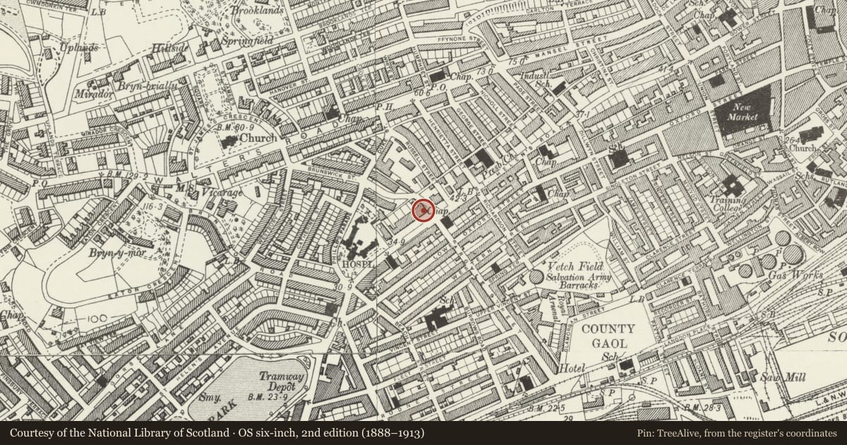
5 historical maps cover this location, the earliest the 1636 map "Cornubia : Devonia, Somersetus, Dorcestria, Wiltonia, Glocestria ..." (David Rumsey Map Collection, Stanford Libraries).
Historical maps covering this location
- 1636 · Cornubia : Devonia, Somersetus, Dorcestria, Wiltonia, Glocestria ... (David Rumsey Map Collection, Stanford Libraries)
- 1637 · The fourth table of England. Cornub. Devonia, Somerset etc. (David Rumsey Map Collection, Stanford Libraries)
- 1865 · England and Wales. England No. 6. (David Rumsey Map Collection, Stanford Libraries)
- 1891 · Sheet 10. Ordnance Survey of England and Wales. . (David Rumsey Map Collection, Stanford Libraries)
- 1897 · 247 Swansea (Hills) (David Rumsey Map Collection, Stanford Libraries)
Cadw's description
Location
Set back from and above the road with service road behind trees on street line. Originally known as Brunswick Place.
Exterior
Terrace of mid C19 classical houses (originally arranged as 2 pairs plus one), centre left block with later 5-light cantilevered Tudor bay over linking porches. 3-storey plus attic and basement, stucco 2-bay fronts linked by 1 storey porches. Slate roofs, gabled dormers and central panelled stacks. Eaves cornice and blocking course, plain pilasters over main cornice, Corinthian pilasters below. Windows with architraves and cornices on volute brackets to ground floor. Large later splayed bay through all storeys to No 148, 2 storey splayed bay to left side. Sash windows with small-pane glazing (not to Nos 139, 140 and 147). Ionic columns in antis to side porches, panelled doorcases under, steps up. Long ranges to rear.
Reason for designation
Group value.
Nearby in the register
- Mercer Offices, including Brunswick Health Centre & Douglas-JonesHealth and Welfareunder 1 mi
- Mercer Offices, including Brunswick Health Centre & Douglas-JonesHealth and Welfareunder 1 mi
- Mercer Offices, including Brunswick Health Centre & Douglas-JonesHealth and Welfareunder 1 mi
- Mercer Offices, including Brunswick Health Centre & Douglas-JonesHealth and Welfareunder 1 mi
Other entries of the same register within about three miles of this one, by straight line.