Cof Cymru: National Historic Assets of Wales · Wales
Zoar Chapel (Welsh Congregational)
Town, Merthyr Tydfil, Wales
A Grade II listed building in Town, Merthyr Tydfil, designated on 22 August 1975.
The record
- Designation
- Listed building, Grade II
- Broad class
- Religious, Ritual and Funerary
- Date of designation
- 22 August 1975
- Community
- Town
- Unitary authority
- Merthyr Tydfil
- Country
- Wales
- Coordinates
- 51.74861, -3.37795
- Cadw reference
- 11452
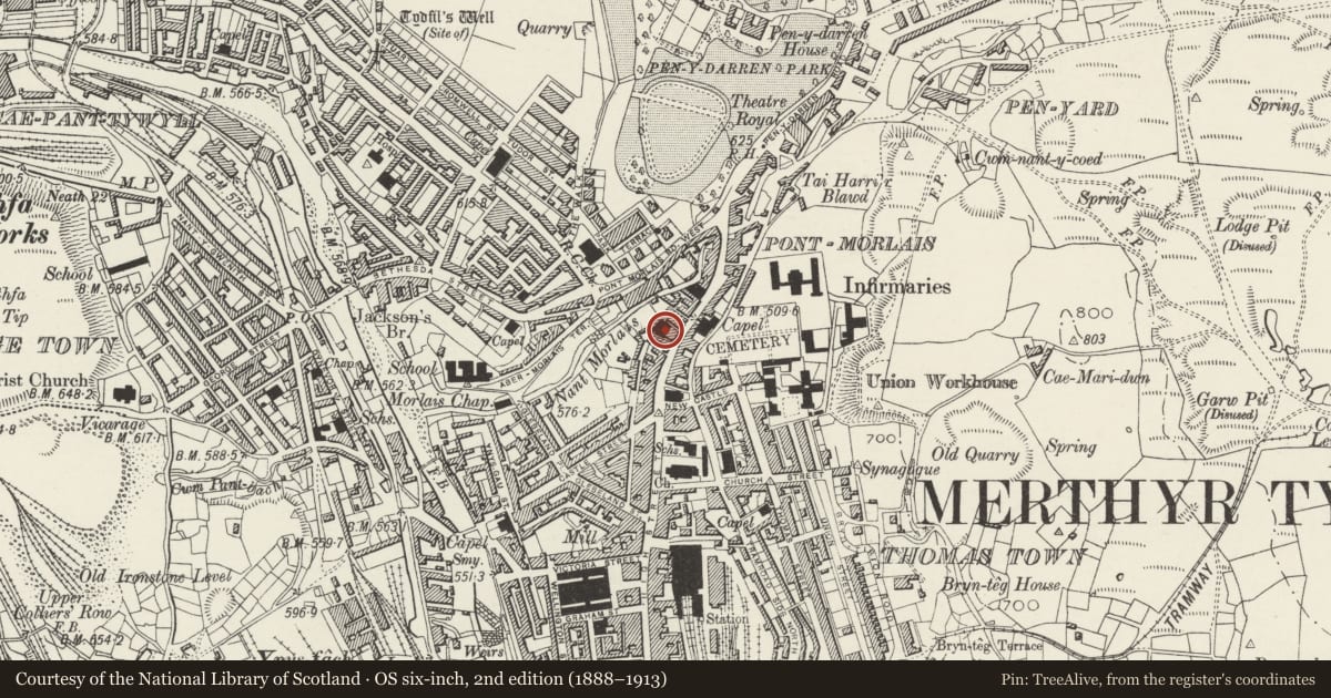
Slide toward Today to fade the historical sheet and see the modern map underneath.
David Rumsey Map Collection, Stanford LibrariesDavid Rumsey Map Collection, Stanford LibrariesDavid Rumsey Map Collection, Stanford LibrariesDavid Rumsey Map Collection, Stanford LibrariesDavid Rumsey Map Collection, Stanford Libraries
5 historical maps cover this location, the earliest the 1636 map "Cornubia : Devonia, Somersetus, Dorcestria, Wiltonia, Glocestria ..." (David Rumsey Map Collection, Stanford Libraries).
Historical maps covering this location
- 1636 · Cornubia : Devonia, Somersetus, Dorcestria, Wiltonia, Glocestria ... (David Rumsey Map Collection, Stanford Libraries)
- 1637 · The fourth table of England. Cornub. Devonia, Somerset etc. (David Rumsey Map Collection, Stanford Libraries)
- 1830 · V.3:11-15:XV. Britisches Reich. A. Kon: England. b. Frstenthum Wales: Shire: 37-40 (David Rumsey Map Collection, Stanford Libraries)
- 1895 · Sheet 11. Ordnance Survey of England and Wales. (David Rumsey Map Collection, Stanford Libraries)
- 1898 · 231 Merthyr Tydfil (Hills) (David Rumsey Map Collection, Stanford Libraries)
Cadw's description
Location
Set back to rear of Nos 3, 4 and 5 Pontmorlais and reached by a gated lane shared with the adjoining Council Offices.
History
Opened March 1842. Preceding chapel of 1823 pulled down by the Rev B Owen who "undertook the drawing of the plans and superintending of the erection of the new building". Cost £2,300.
Exterior
Large, rectangular rubble-built chapel with entrances in symmetrical 5-bay N front, advanced end bays. Hipped slate roof, wide eaves. Arched upper floor windows with fixed, ironwork, Gothic glazing bars, cambered ground-floor heads with sash windows. 3-bay entrance loggia (inserted ?) with bracket cornice, plain capitals to turned columns; glazed lean-to canopy. 6-bay W elevation with ironwork frames to ground-floor windows; slate-hung S elevation with gabled 2-storey projection.
Interior
Galleried interior with ribbed plaster ceiling, organ, pulpit and balustraded stairs to S end. Bushy foliage to fluted cast-iron columns, stencilled cornice, panelled galleried fronts with fluted pilasters; raked box-pews etc.
Nearby in the register
- Gates & Gatepiers at Entry to Zoar ChapelReligious, Ritual and Funeraryunder 1 mi
- Former Wesley Methodist ChurchReligious, Ritual and Funeraryunder 1 mi
- 14 New Castle StreetDomesticunder 1 mi
- 11 New Castle StreetDomesticunder 1 mi
Other entries of the same register within about three miles of this one, by straight line.