Cof Cymru: National Historic Assets of Wales · Wales
Fountain in Centre of terraced garden on W side of Plas Dinefwr
Llandeilo, Carmarthenshire, Wales
A Grade II listed building in Llandeilo, Carmarthenshire, designated on 7 December 1989.
The record
- Designation
- Listed building, Grade II
- Broad class
- Gardens, Parks and Urban Spaces
- Date of designation
- 7 December 1989
- Community
- Llandeilo
- Unitary authority
- Carmarthenshire
- Country
- Wales
- Coordinates
- 51.88403, -4.01514
- Cadw reference
- 11101
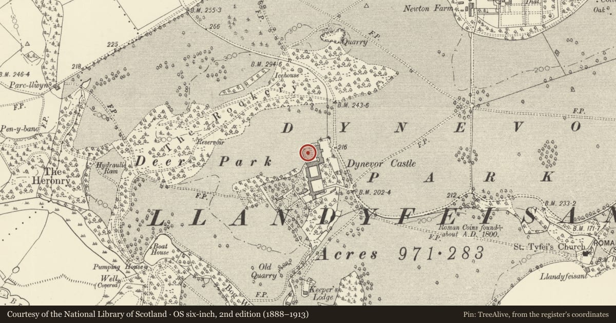
Slide toward Today to fade the historical sheet and see the modern map underneath.
David Rumsey Map Collection, Stanford LibrariesDavid Rumsey Map Collection, Stanford LibrariesDavid Rumsey Map Collection, Stanford LibrariesDavid Rumsey Map Collection, Stanford LibrariesDavid Rumsey Map Collection, Stanford Libraries
5 historical maps cover this location, the earliest the 1860 map "41. Caermathen." (David Rumsey Map Collection, Stanford Libraries).
Historical maps covering this location
- 1860 · 41. Caermathen. (David Rumsey Map Collection, Stanford Libraries)
- 1891 · Sheet 10. Ordnance Survey of England and Wales. . (David Rumsey Map Collection, Stanford Libraries)
- 1898 · 212 Llandovery (Outline) (David Rumsey Map Collection, Stanford Libraries)
- 1898 · 212 Llandovery (Hills) (David Rumsey Map Collection, Stanford Libraries)
- 1901 · Sheet 14. (David Rumsey Map Collection, Stanford Libraries)
Cadw's description
Location
Within the formal (overgrown) terraced garden of Plas Dinefwr
History
This remarkable stonework fountain, probably dating from R K Penson's remodelling of the house in l856/7.
Exterior
Elaborate polygonal structure in romanesque style. Plinth is set in a large stone lined tank. Solid central stem of basin is surrounded by Norman colonnettes with cushion capitals. Low relief patterns (interlace and strapwork) to polygonal masonry basin.
Reason for designation
Group value with the house and other listed items.
Nearby in the register
- Summerhouse at Plas DinefwrGardens, Parks and Urban Spacesunder 1 mi
- Plas Dinefwr, including SW Screen wallDomesticunder 1 mi
- Inner Courtyard Ranges at Dynevor Castel (Newton House)Domesticunder 1 mi
- Low Stone Walls & Gates to Ha-Ha surrounding Plas DinefwrDomesticunder 1 mi
Other entries of the same register within about three miles of this one, by straight line.