Cof Cymru: National Historic Assets of Wales · Wales
Brisken House
Llandeilo, Carmarthenshire, Wales
A Grade II listed building in Llandeilo, Carmarthenshire, designated on 24 June 1991.
The record
- Designation
- Listed building, Grade II
- Broad class
- Domestic
- Date of designation
- 24 June 1991
- Community
- Llandeilo
- Unitary authority
- Carmarthenshire
- Country
- Wales
- Coordinates
- 51.88323, -3.99470
- Cadw reference
- 11050
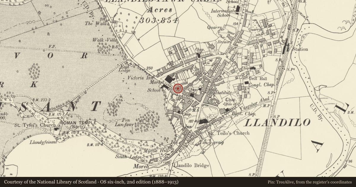
Slide toward Today to fade the historical sheet and see the modern map underneath.
David Rumsey Map Collection, Stanford LibrariesDavid Rumsey Map Collection, Stanford LibrariesDavid Rumsey Map Collection, Stanford LibrariesDavid Rumsey Map Collection, Stanford LibrariesDavid Rumsey Map Collection, Stanford Libraries
5 historical maps cover this location, the earliest the 1860 map "41. Caermathen." (David Rumsey Map Collection, Stanford Libraries).
Historical maps covering this location
- 1860 · 41. Caermathen. (David Rumsey Map Collection, Stanford Libraries)
- 1891 · Sheet 10. Ordnance Survey of England and Wales. . (David Rumsey Map Collection, Stanford Libraries)
- 1898 · 212 Llandovery (Outline) (David Rumsey Map Collection, Stanford Libraries)
- 1898 · 212 Llandovery (Hills) (David Rumsey Map Collection, Stanford Libraries)
- 1901 · Sheet 14. (David Rumsey Map Collection, Stanford Libraries)
Cadw's description
Location
Set back from the street behind a railed forecourt near North Bank.
Exterior
Ca l800. 2 storey, 3 window house. Roughcast on rubble. Gently pitched slate roof, oversailing eaves. Rendered stacks, larger to right.
12 pane sash windows to first floor. Similar ground floor windows in shallow round arched recesses. Impost band, plinth. C20 gabled timber porch. Original 6 panel door, upper 4 panels glazed.
Reason for designation
Group value.
Nearby in the register
- Cambrian HouseCommercialunder 1 mi
- Former School HouseDomesticunder 1 mi
- Former National SchoolDomesticunder 1 mi
- Former Provision Market (Premisies of Brockington & Scott LTD)Industrialunder 1 mi
Other entries of the same register within about three miles of this one, by straight line.