Cof Cymru: National Historic Assets of Wales · Wales
War Memorial
Llwydcoed, Rhondda Cynon Taff, Wales
A Grade II listed building in Tre-Gibbon, Llwydcoed, Rhondda Cynon Taff, designated on 10 January 1991.
The record
- Designation
- Listed building, Grade II
- Broad class
- Commemorative
- Date of designation
- 10 January 1991
- Locality
- Tre-Gibbon
- Community
- Llwydcoed
- Unitary authority
- Rhondda Cynon Taff
- Country
- Wales
- Coordinates
- 51.73517, -3.46087
- Cadw reference
- 10896
Slide toward Today to fade the historical sheet and see the modern map underneath.
David Rumsey Map Collection, Stanford LibrariesDavid Rumsey Map Collection, Stanford LibrariesDavid Rumsey Map Collection, Stanford LibrariesDavid Rumsey Map Collection, Stanford LibrariesDavid Rumsey Map Collection, Stanford Libraries
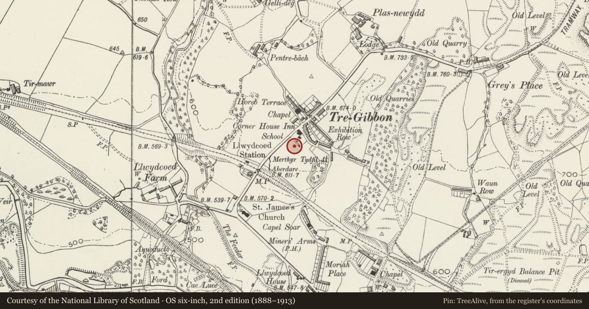
5 historical maps cover this location, the earliest the 1608 map "(13) Cambriae Typus." (David Rumsey Map Collection, Stanford Libraries).
Historical maps covering this location
- 1608 · (13) Cambriae Typus. (David Rumsey Map Collection, Stanford Libraries)
- 1636 · Cornubia : Devonia, Somersetus, Dorcestria, Wiltonia, Glocestria ... (David Rumsey Map Collection, Stanford Libraries)
- 1637 · The fourth table of England. Cornub. Devonia, Somerset etc. (David Rumsey Map Collection, Stanford Libraries)
- 1830 · V.3:11-15:XV. Britisches Reich. A. Kon: England. b. Frstenthum Wales: Shire: 37-40 (David Rumsey Map Collection, Stanford Libraries)
- 1898 · 231 Merthyr Tydfil (Hills) (David Rumsey Map Collection, Stanford Libraries)
Cadw's description
Location
At the top of Llwydcoed Park immediately to S of the area of Tre-Gibbon.
History
Unveiled 28th September l921 and was said to be the first public war monument in the district; cost ú600.
Exterior
Obelisk type; constructed of Aberdeen granite tapered and with no ornament. Inscribed pedestal and stepped plinth; surrounded by iron railings with pointed arches and taller corner posts.
Nearby in the register
- Merthyr Road Railway BridgeNo class recordedunder 1 mi
- St James' ChurchReligious, Ritual and Funeraryunder 1 mi
- Llwydcoed Tramroad BridgeTransportunder 1 mi
- Gelli-Isaf Tramroad Bridge, Abernant TramroadBridgeunder 1 mi
Other entries of the same register within about three miles of this one, by straight line.