Cof Cymru: National Historic Assets of Wales · Wales
Gates & Gate Piers, including Flanking Railings at SE (Main) Entrance to Aberdare Park
Aberdare West, Rhondda Cynon Taff, Wales
A Grade II listed building in Aberdare West, Rhondda Cynon Taff, designated on 10 January 1991.
The record
- Designation
- Listed building, Grade II
- Broad class
- Domestic
- Date of designation
- 10 January 1991
- Community
- Aberdare West
- Unitary authority
- Rhondda Cynon Taff
- Country
- Wales
- Coordinates
- 51.71761, -3.45343
- Cadw reference
- 10884
Slide toward Today to fade the historical sheet and see the modern map underneath.
David Rumsey Map Collection, Stanford LibrariesDavid Rumsey Map Collection, Stanford LibrariesDavid Rumsey Map Collection, Stanford LibrariesDavid Rumsey Map Collection, Stanford LibrariesDavid Rumsey Map Collection, Stanford Libraries
5 historical maps cover this location, the earliest the 1636 map "Cornubia : Devonia, Somersetus, Dorcestria, Wiltonia, Glocestria ..." (David Rumsey Map Collection, Stanford Libraries).
Historical maps covering this location
- 1636 · Cornubia : Devonia, Somersetus, Dorcestria, Wiltonia, Glocestria ... (David Rumsey Map Collection, Stanford Libraries)
- 1637 · The fourth table of England. Cornub. Devonia, Somerset etc. (David Rumsey Map Collection, Stanford Libraries)
- 1830 · V.3:11-15:XV. Britisches Reich. A. Kon: England. b. Frstenthum Wales: Shire: 37-40 (David Rumsey Map Collection, Stanford Libraries)
- 1865 · England and Wales. England No. 6. (David Rumsey Map Collection, Stanford Libraries)
- 1898 · 231 Merthyr Tydfil (Hills) (David Rumsey Map Collection, Stanford Libraries)
Cadw's description
Location
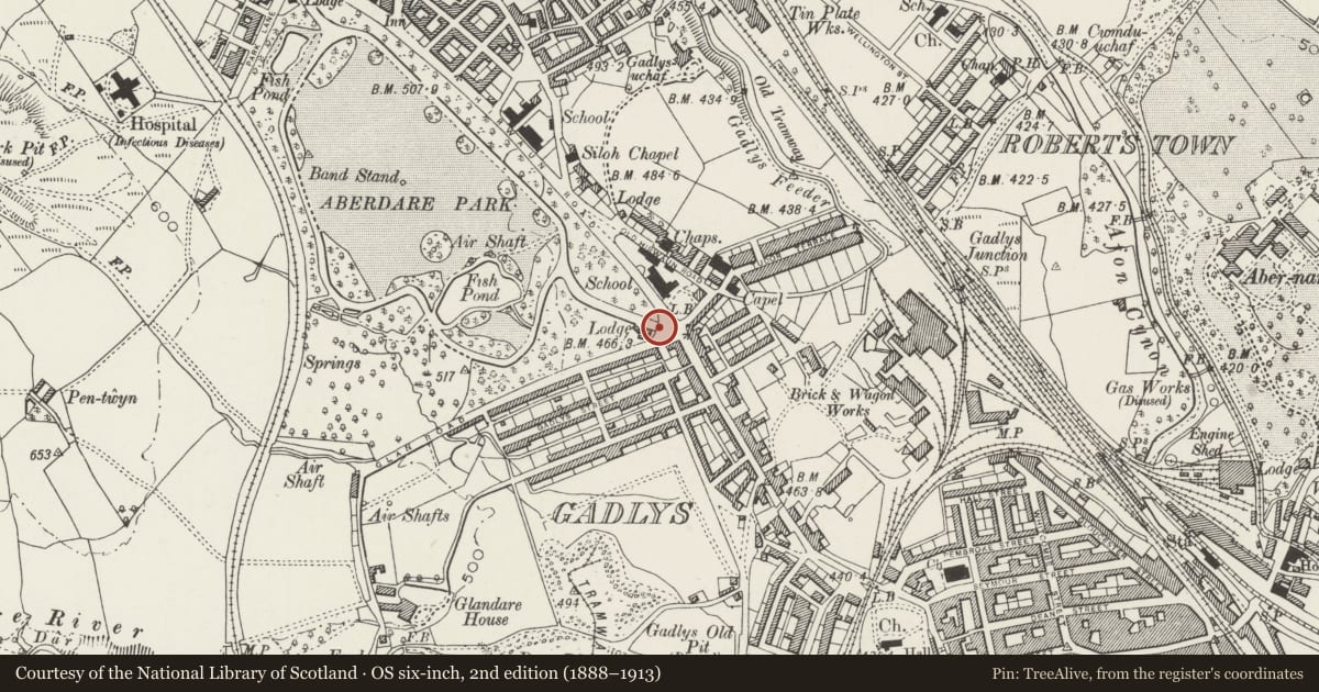
Closing the SE drive entrance to the park at the junction with Glan Road.
History
Aberdare Park was laid out on a part of Hirwaun Common on the instigation of R H Rhys, Chairman of the Local Board of Health "as a pleasant place for the dust-begrimed inhabitants" . Opened on 27tháJulyál869 and walled in 1877. These are not the original gates and piers but were erected after the war.
Exterior
2 tall stone square piers with pyramidal caps flanked by smaller similar piers. The carriage and pedestrian iron gates all have simple panels and lock bars; the main carriage gates also have scrolled ironwork to the top. Low rubble walls to either side curving back to ends terminating in similar square piers, to left at the rounded corner by the lodge and to right by the bus shelter having stepped up beyond the corner with Hirwaun Road. Finialled iron railings with more elaborate principal uprights which have scrolled brackets to the inner side.
Reason for designation
Group value with other listed items in Aberdare Park.
Nearby in the register
- Pedestal and Statue of Lord Merthyr in Aberdare ParkCommemorativeunder 1 mi
- Gadlys ChapelReligious, Ritual and Funeraryunder 1 mi
- Fountain in Aberdare ParkGardens, Parks and Urban Spacesunder 1 mi
- Former Calcining Furnaces at Gadly's IronworksIndustrialunder 1 mi
Other entries of the same register within about three miles of this one, by straight line.