Cof Cymru: National Historic Assets of Wales · Wales
Gate Piers at former Railway Crossing
Aberdare West, Rhondda Cynon Taff, Wales
A Grade II listed building in Trecynon, Aberdare West, Rhondda Cynon Taff, designated on 10 January 1991.
The record
- Designation
- Listed building, Grade II
- Broad class
- Transport
- Date of designation
- 10 January 1991
- Locality
- Trecynon
- Community
- Aberdare West
- Unitary authority
- Rhondda Cynon Taff
- Country
- Wales
- Coordinates
- 51.72345, -3.46530
- Cadw reference
- 10880
Slide toward Today to fade the historical sheet and see the modern map underneath.
David Rumsey Map Collection, Stanford LibrariesDavid Rumsey Map Collection, Stanford LibrariesDavid Rumsey Map Collection, Stanford LibrariesDavid Rumsey Map Collection, Stanford LibrariesDavid Rumsey Map Collection, Stanford Libraries
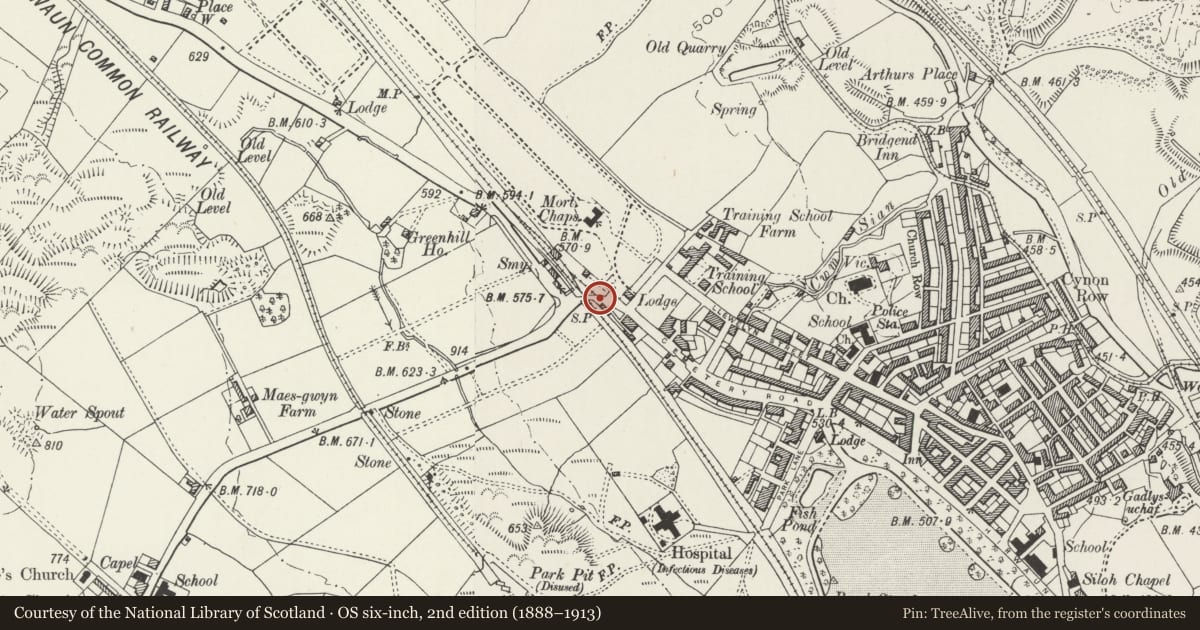
5 historical maps cover this location, the earliest the 1636 map "Cornubia : Devonia, Somersetus, Dorcestria, Wiltonia, Glocestria ..." (David Rumsey Map Collection, Stanford Libraries).
Historical maps covering this location
- 1636 · Cornubia : Devonia, Somersetus, Dorcestria, Wiltonia, Glocestria ... (David Rumsey Map Collection, Stanford Libraries)
- 1637 · The fourth table of England. Cornub. Devonia, Somerset etc. (David Rumsey Map Collection, Stanford Libraries)
- 1830 · V.3:11-15:XV. Britisches Reich. A. Kon: England. b. Frstenthum Wales: Shire: 37-40 (David Rumsey Map Collection, Stanford Libraries)
- 1865 · England and Wales. England No. 6. (David Rumsey Map Collection, Stanford Libraries)
- 1898 · 231 Merthyr Tydfil (Hills) (David Rumsey Map Collection, Stanford Libraries)
Cadw's description
Location
At the northern edge of Trecynon; beside the road at the 'S' bend.
History
At this point the Great Western Railway (Aman Branch) crossed the road out of Trecynon to Cwmdare and Hirwaun. However these gate posts are placed too far apart for the single track railway that existed. Either the smaller of the two piers has been moved E or more likely it was infact a pier for a pedestrian gate at the side of the track.
Exterior
The left hand gate post is a complex assembly of cast iron and wood. Tapered cast iron column stamped GWR T47 with finial and spurs linking with thin square pole hinged to a massive timber post thickened to top with inverted spandrel stamped T116 between this and the arm that formerly attached to the gate; quatrefoil ornament. The plain square iron pier to right was probably a locking post for a pedestrian gate; pyramidal cap.
Nearby in the register
- Gates 7 Gate Piers, including Flanking Railings, at NW Entrance to Aberdare ParkDomesticunder 1 mi
- St. Fagan's ChurchReligious, Ritual and Funeraryunder 1 mi
- Vicarage to St Fagan's ChurchDomesticunder 1 mi
- Carmel (Bryn Sion) ChapelReligious, Ritual and Funeraryunder 1 mi
Other entries of the same register within about three miles of this one, by straight line.