Cof Cymru: National Historic Assets of Wales · Wales
Former kitchen garden walls, greenhouses, associated outbuildings and river terrace at Hafod
Pontarfynach, Ceredigion, Wales
A Grade II listed building in Hafod, Ystrad Meurig, Pontarfynach, Ceredigion, designated on 3 October 1988.
The record
- Designation
- Listed building, Grade II
- Broad class
- Domestic
- Date of designation
- 3 October 1988
- Locality
- Hafod
- Town
- Ystrad Meurig
- Community
- Pontarfynach
- Unitary authority
- Ceredigion
- Country
- Wales
- Coordinates
- 52.34145, -3.82688
- Cadw reference
- 10703
Slide toward Today to fade the historical sheet and see the modern map underneath.
David Rumsey Map Collection, Stanford LibrariesDavid Rumsey Map Collection, Stanford LibrariesDavid Rumsey Map Collection, Stanford LibrariesDavid Rumsey Map Collection, Stanford LibrariesDavid Rumsey Map Collection, Stanford Libraries
5 historical maps cover this location, the earliest the 1608 map "(13) Cambriae Typus." (David Rumsey Map Collection, Stanford Libraries).
Historical maps covering this location
- 1608 · (13) Cambriae Typus. (David Rumsey Map Collection, Stanford Libraries)
- 1830 · V.3:11-15:XV. Britisches Reich. A. Kon: England. b. Frstenthum Wales: Shire: 37-40 (David Rumsey Map Collection, Stanford Libraries)
- 1883 · Watershed map England, Wales 3. (David Rumsey Map Collection, Stanford Libraries)
- 1899 · 178 Llanilar (Hills) (David Rumsey Map Collection, Stanford Libraries)
- 1901 · Sheet 14. (David Rumsey Map Collection, Stanford Libraries)
Cadw's description
Location
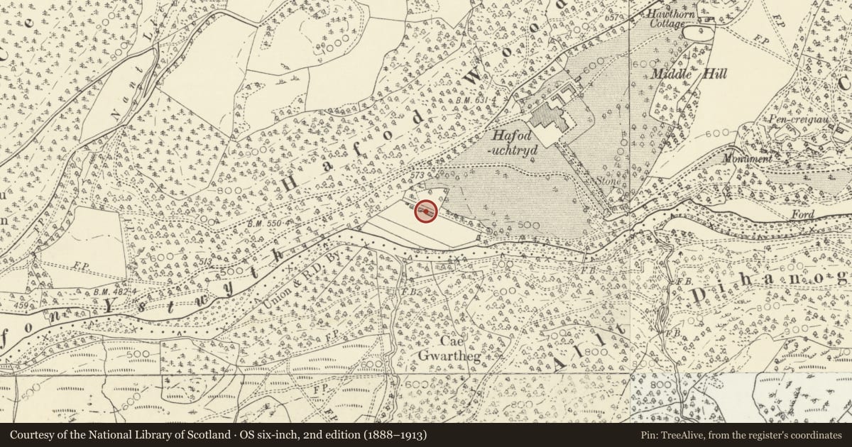
Set low down beside Afon Ystwyth to SW of site of house.
History
Walls of walled gardens to Hafod, probably begun for Thomas Johnes c. 1786, complete by 1796, tree nursery along S side, later additions and alterations. The former head-gardener's cottage is mid C19, altered and not included. The gardens are roughly trapezoidal in shape. There were hothouses along the N wall by 1799. The greenhouses are late C19 by Messenger & Co. of Loughborough for T. J. Waddingham. The larger E one is marked on OS of 1886, the smaller one is on the 1905 OS.
Exterior
Three-sided enclosure (approximately 145m by 60m) open to E side, consisting of mostly coursed rubble walls some 2.5m high with split stone uprights to cappings. Lean-to boiler-house with slate roof part way along N wall exterior. Entrance to yard at rear of gardener's cottage with (rebuilt) turned-in jambs topped by tapering finial blocks (reused from house?). N Wall returns the short distance to abut the cottage. Far W wall of garden is now partly constructed in brick and returns E along riverside to end at the yard to S of cottage. Terrace on outer side ends with flight of ornamental steps down (partly reusing masonry from house?). Later pig sty with pen constructed within N wall of garden and adjoining part of later C19 or early C20 lean-to greenhouses with some original glazing and fittings.
Reason for designation
Included for historic importance as part of Thomas Johnes original works at Hafod.
Nearby in the register
- Ice House at HafodDomesticunder 1 mi
- Stable Range at Hafod and attached courtyard wallsAgriculture and Subsistenceunder 1 mi
- Hay-barn at HafodAgriculture and Subsistenceunder 1 mi
- Hafod: Nant Bwlch-GwallterStoneunder 1 mi
Other entries of the same register within about three miles of this one, by straight line.