Cof Cymru: National Historic Assets of Wales · Wales
Lychgate to Church of St Ina
Llanllwchaiarn, Ceredigion, Wales
A Grade II listed building in Llanina, Llanllwchaiarn, Ceredigion, designated on 3 June 1964.
The record
- Designation
- Listed building, Grade II
- Broad class
- Religious, Ritual and Funerary
- Date of designation
- 3 June 1964
- Locality
- Llanina
- Community
- Llanllwchaiarn
- Unitary authority
- Ceredigion
- Country
- Wales
- Coordinates
- 52.21317, -4.33633
- Cadw reference
- 10679
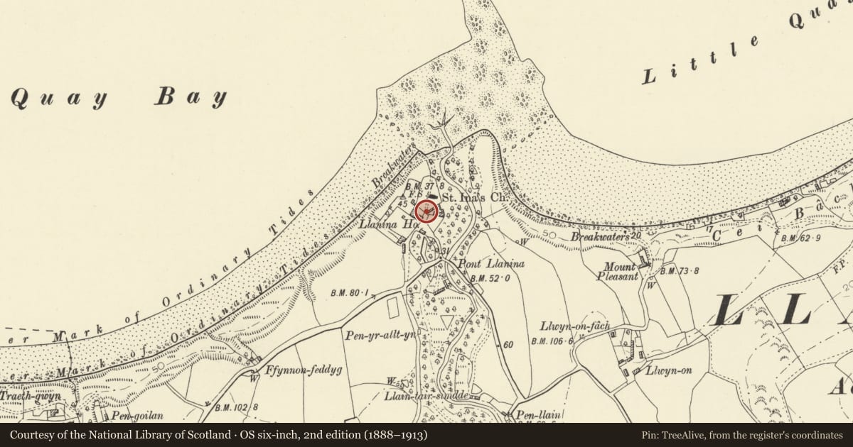
Slide toward Today to fade the historical sheet and see the modern map underneath.
David Rumsey Map Collection, Stanford LibrariesDavid Rumsey Map Collection, Stanford LibrariesDavid Rumsey Map Collection, Stanford LibrariesDavid Rumsey Map Collection, Stanford LibrariesDavid Rumsey Map Collection, Stanford Libraries
5 historical maps cover this location, the earliest the 1608 map "(13) Cambriae Typus." (David Rumsey Map Collection, Stanford Libraries).
Historical maps covering this location
- 1608 · (13) Cambriae Typus. (David Rumsey Map Collection, Stanford Libraries)
- 1830 · V.3:11-15:XV. Britisches Reich. A. Kon: England. b. Frstenthum Wales: Shire: 37-40 (David Rumsey Map Collection, Stanford Libraries)
- 1899 · 194 Llangranog (Hills) (David Rumsey Map Collection, Stanford Libraries)
- 1901 · Sheet 14. (David Rumsey Map Collection, Stanford Libraries)
- 1919 · Sheet 78. Lampeter. (David Rumsey Map Collection, Stanford Libraries)
Cadw's description
Location
Situated at southern corner of churchyard, by Plas Llanina.
History
C19
Exterior
Lychgate in rubble stone with single pointed arch, flat top and then angle blocks and centre finial. Arch has cut-stone voussoirs and there are two featureless stone plaques set into shoulders above arch. Short length of lower wall to right, left side is attached to Plas Llanina boundary. C20 iron gates.
Lychgate is said to incorporate stones from previous Llanina Church, and looks as if it may have been substantially rebuilt or repaired in the C20.
Reason for designation
Included for group value with church.
Nearby in the register
- Plas LlaninaDomesticunder 1 mi
- Summerhouse to N of Plas LlaninaGardens, Parks and Urban Spacesunder 1 mi
- Church of St InaReligious, Ritual and Funeraryunder 1 mi
- Pont LlaninaTransportunder 1 mi
Other entries of the same register within about three miles of this one, by straight line.