Cof Cymru: National Historic Assets of Wales · Wales
Statue of Thomas Edwards
Aberystwyth, Ceredigion, Wales
A Grade II listed building in Aberystwyth, Ceredigion, designated on 24 November 1987.
The record
- Designation
- Listed building, Grade II
- Broad class
- Commemorative
- Date of designation
- 24 November 1987
- Community
- Aberystwyth
- Unitary authority
- Ceredigion
- Country
- Wales
- Coordinates
- 52.41515, -4.08824
- Cadw reference
- 10311
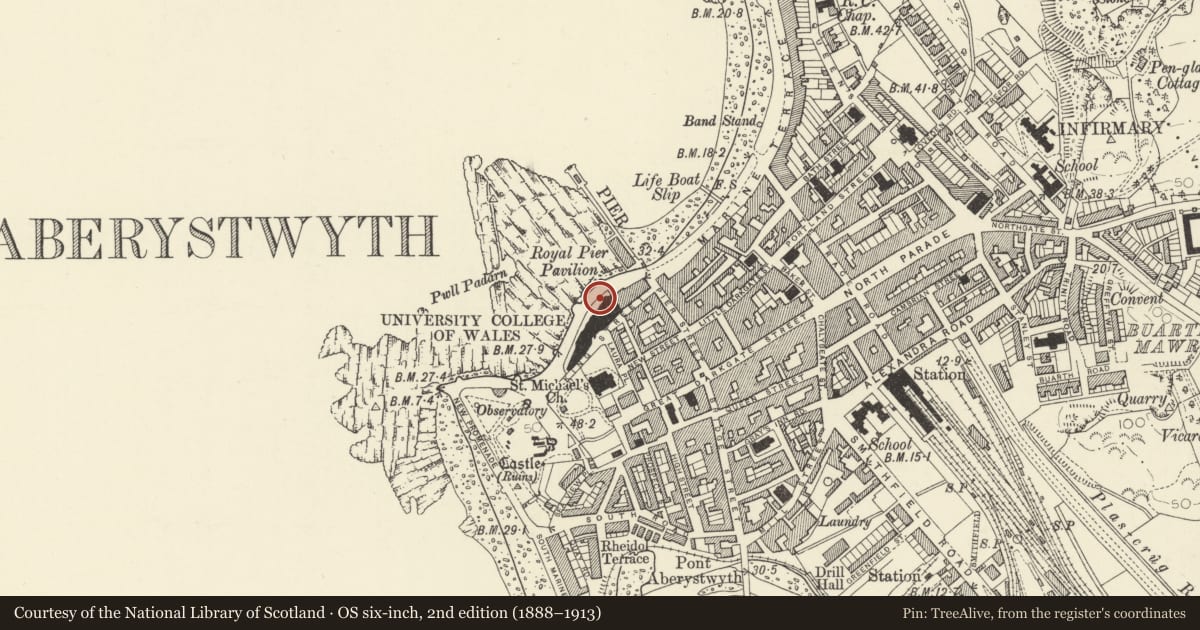
Slide toward Today to fade the historical sheet and see the modern map underneath.
David Rumsey Map Collection, Stanford LibrariesDavid Rumsey Map Collection, Stanford LibrariesDavid Rumsey Map Collection, Stanford LibrariesDavid Rumsey Map Collection, Stanford LibrariesDavid Rumsey Map Collection, Stanford Libraries
5 historical maps cover this location, the earliest the 1830 map "V.3:11-15:XV. Britisches Reich. A. Kon: England. b. Frstenthum Wales: Shire: 37-40" (David Rumsey Map Collection, Stanford Libraries).
Historical maps covering this location
- 1830 · V.3:11-15:XV. Britisches Reich. A. Kon: England. b. Frstenthum Wales: Shire: 37-40 (David Rumsey Map Collection, Stanford Libraries)
- 1883 · Watershed map England, Wales 3. (David Rumsey Map Collection, Stanford Libraries)
- 1896 · Sheet 7. Ordnance Survey of England and Wales. (David Rumsey Map Collection, Stanford Libraries)
- 1899 · 163 Aberystwyth (Hills) (David Rumsey Map Collection, Stanford Libraries)
- 1901 · Sheet 14. (David Rumsey Map Collection, Stanford Libraries)
Cadw's description
Location
In the forecourt of the University Old College, towards the NE end of the seaward side.
History
1837-1900,
Exterior
By Goscombe John. Bronze figure of Thomas Charles Edwards Principal of the University College. In academic dress and holding an open book, further books at his feet. Stepped granite pedestal.
Reason for designation
Group value
Nearby in the register
- University of Aberystwyth Overseas UnitEducationunder 1 mi
- University College of Wales Old College BuildingEducationunder 1 mi
- Statue of Edward Prince of WalesCommemorativeunder 1 mi
- University of Aberystwyth, Student Health CentreHealth and Welfareunder 1 mi
Other entries of the same register within about three miles of this one, by straight line.