Cof Cymru: National Historic Assets of Wales · Wales
Goetre Uchaf
Aberaeron, Ceredigion, Wales
A Grade II listed building in Aberaeron, Ceredigion, designated on 25 September 1986.
The record
- Designation
- Listed building, Grade II
- Broad class
- Domestic
- Date of designation
- 25 September 1986
- Locality
- Aberaeron
- Community
- Aberaeron
- Unitary authority
- Ceredigion
- Country
- Wales
- Coordinates
- 52.23723, -4.25025
- Cadw reference
- 10169
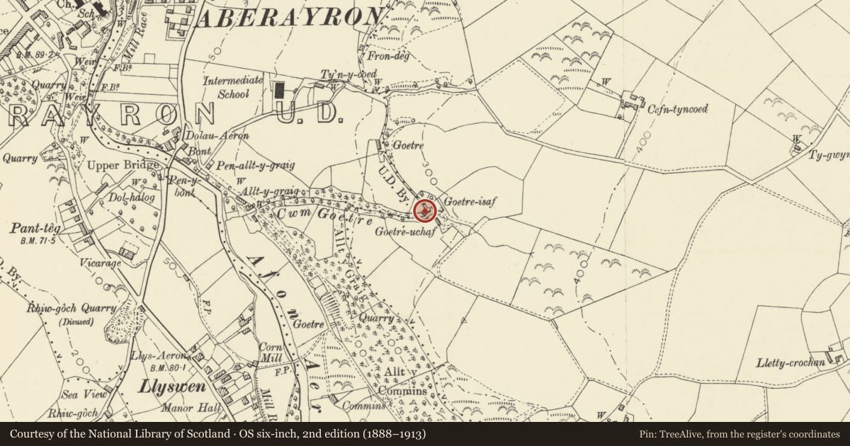
Slide toward Today to fade the historical sheet and see the modern map underneath.
David Rumsey Map Collection, Stanford LibrariesDavid Rumsey Map Collection, Stanford LibrariesDavid Rumsey Map Collection, Stanford LibrariesDavid Rumsey Map Collection, Stanford LibrariesDavid Rumsey Map Collection, Stanford Libraries
5 historical maps cover this location, the earliest the 1830 map "V.3:11-15:XV. Britisches Reich. A. Kon: England. b. Frstenthum Wales: Shire: 37-40" (David Rumsey Map Collection, Stanford Libraries).
Historical maps covering this location
- 1830 · V.3:11-15:XV. Britisches Reich. A. Kon: England. b. Frstenthum Wales: Shire: 37-40 (David Rumsey Map Collection, Stanford Libraries)
- 1898 · 177 Aberaeron (Hills) (David Rumsey Map Collection, Stanford Libraries)
- 1898 · 177 Aberaeron (Outline) (David Rumsey Map Collection, Stanford Libraries)
- 1901 · Sheet 14. (David Rumsey Map Collection, Stanford Libraries)
- 1919 · Sheet 78. Lampeter. (David Rumsey Map Collection, Stanford Libraries)
Cadw's description
Location
In a remote setting high above the town to SE reached by a long and partly overgrown farm road. Built end on into the hillside.
History
Probably later C18 or early C19
Exterior
Vernacular house representing the late continuation of a local building tradition. Rectangular single storey and attic rubble walled building, whitewashed to the front; relatively flat pitch slate roof and rubble chimney stack to left. Modern 2-pane sash windows, recessed and with timber lintels flanking recessed boarded door also with timber lintel. Rendered right end wall with low boarded extension. Small attic window to right gable.
3-bay interior open to the roof and with crogloft to right end; red pine timbers with purlins outside the principal rafters, dowelled tie beams, later common rafters. Large lath and plaster hooded fireplace projecting into room with timber beam support below and further beam for hanging meat. This feature is a regional characteristic and a relatively rare and well-preserved example.
Nearby in the register
- Former Coach House to Dolau AeronDomesticunder 1 mi
- Dolau AeronDomesticunder 1 mi
- Former Toll House Lampeter Road PantegTransportunder 1 mi
- Feathers Royal HotelCommercialunder 1 mi
Other entries of the same register within about three miles of this one, by straight line.