Historic Buildings Record · Northern Ireland
Waterpump
Ards and North Down, Northern Ireland
The record
- Designation
- Record only (not listed)
- Grade
- Record Only
- Type
- Pump
- Date of construction
- 1880 - 1899
- Address
- Waterpump, Behind 77 Balfour Street, Newtownards, Co Down
- Council
- Ards and North Down
- Country
- Northern Ireland
- Coordinates
- 54.59742, -5.69978
- Date of survey
- 15 August 1995
- HB reference
- HB24/10/013
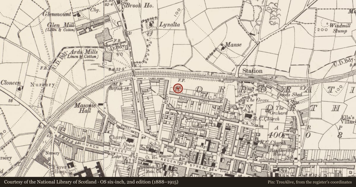
Slide toward Today to fade the historical sheet and see the modern map underneath.
David Rumsey Map Collection, Stanford LibrariesDavid Rumsey Map Collection, Stanford LibrariesDavid Rumsey Map Collection, Stanford Libraries
3 historical maps cover this location, the earliest the 1866 map "Ireland." (David Rumsey Map Collection, Stanford Libraries).
Historical maps covering this location
- 1866 · Ireland. (David Rumsey Map Collection, Stanford Libraries)
- 1891 · Ireland 16 (David Rumsey Map Collection, Stanford Libraries)
- 1900 · Ireland (David Rumsey Map Collection, Stanford Libraries)
The Department's description
Exterior description and setting
A cow tail closed head lever pump with a plain un-enbellished head and a fluted cap. It is situated in the alleyway behind this terrace of houses.
Historical information
Shown on the 1901 25 inch OS map along with 6 others behind this terrace (PRONI REF OS 10/3/6/9/1). No pumps are shown on the 1920 or 1939 editions of this map. Further particulars in the EHS Report 'Water Pumps in Northern Ireland : A Preliminary Survey' by Fred Hammond, January 1997, Pump no 40.
Criteria for listing: architectural interest
Not listed
Criteria for listing: historic interest
Not listed
Evaluation
A water pump in fairly poor condition that has had its original setting degraded.
Nearby in the register
- 10-12 Balfour StreetHouseunder 1 mi
- 44A William StreetHouseunder 1 mi
- Former Presbyterian ManseOfficeunder 1 mi
- Hardford LodgeOfficeunder 1 mi
Other entries of the same register within about three miles of this one, by straight line.