Historic Buildings Record · Northern Ireland
18, 20, 22 Marine Parade
Ards and North Down, Northern Ireland
The record
- Designation
- Record only (not listed)
- Grade
- Record Only
- Type
- No type recorded
- Address
- 18, 20, 22 Marine Parade, Holywood, County Down
- Council
- Ards and North Down
- Country
- Northern Ireland
- Coordinates
- 54.64197, -5.83733
- Date of survey
- 04 February 2011
- HB reference
- HB23/20/028
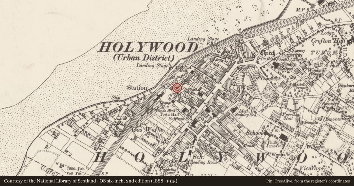
Slide toward Today to fade the historical sheet and see the modern map underneath.
David Rumsey Map Collection, Stanford LibrariesDavid Rumsey Map Collection, Stanford LibrariesDavid Rumsey Map Collection, Stanford LibrariesDavid Rumsey Map Collection, Stanford Libraries
4 historical maps cover this location, the earliest the 1636 map "Vltoniae Orientalis Pars" (David Rumsey Map Collection, Stanford Libraries).
Historical maps covering this location
- 1636 · Vltoniae Orientalis Pars (David Rumsey Map Collection, Stanford Libraries)
- 1697 · Scotia, Parte Meridionale (David Rumsey Map Collection, Stanford Libraries)
- 1794 · Sheet 55. (Cary's England, Wales, and Scotland). (David Rumsey Map Collection, Stanford Libraries)
- 1891 · Ireland 16 (David Rumsey Map Collection, Stanford Libraries)
The Department's description
Exterior description and setting
The properties have been demolished and the site cleared.
The First Survey card records:
'2/Sty block of 2 houses with a recent 3rd/Sty added to No10. Roof slated, gable ends. Chimneys rendered. Wall rendered & lined. Mld. stone eaves. Bevel stone quoins & mld. stone base. 7 F/FL D/H windows, 3 Georgina panes, 4 horizon. astrags. Gr/FL has door - 2 windows - coachway - 2 windows - door. Windows as above. Doorways have mld. architrave with outer plain pilasters & decor. brackets below cornice hood enclosing plain fanlight & panelled (No 8) & flush panelled (No 10) door. Coachway has elliptical arch head & mld. architrave. 3rd/Sty addition to No10 unsuitable.
Condition fair. Frontage about 52 ft.
Appears on O.S. map of 1834
Date of visit: 25/7/73'
Historical information
N/A
Criteria for listing: architectural interest
Not listed
Criteria for listing: historic interest
Not listed
Evaluation
The properties have been demolished and the site cleared.
General comments
Partial Survey Only
Nearby in the register
- 35 Hibernia StreetNo type recordedunder 1 mi
- 8-10 Marine ParadeNo type recordedunder 1 mi
- 2-4 Marine ParadeNo type recordedunder 1 mi
- 6 Marine ParadeNo type recordedunder 1 mi
Other entries of the same register within about three miles of this one, by straight line.