Historic Buildings Record · Northern Ireland
105 Dublin Road
Drumalane, Newry, Mourne and Down, Northern Ireland
The record
- Designation
- Record only (not listed)
- Grade
- Record Only
- Type
- Demolished
- Date of construction
- 1800 - 1819
- Address
- 105 Dublin Road, Newry, Co Down, BT35 8QP
- Townland
- Drumalane
- Council
- Newry, Mourne and Down
- Country
- Northern Ireland
- Coordinates
- 54.15799, -6.34583
- Date of survey
- 12 September 1997
- HB reference
- HB16/29/027
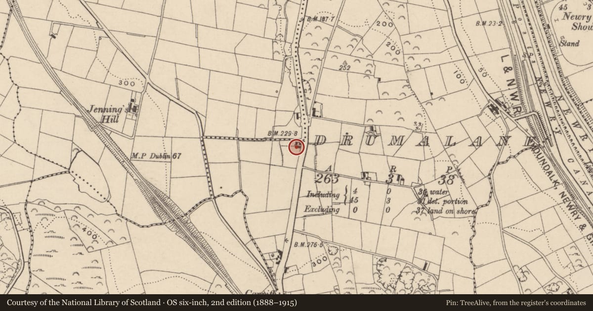
Slide toward Today to fade the historical sheet and see the modern map underneath.
David Rumsey Map Collection, Stanford LibrariesDavid Rumsey Map Collection, Stanford LibrariesDavid Rumsey Map Collection, Stanford LibrariesDavid Rumsey Map Collection, Stanford Libraries
4 historical maps cover this location, the earliest the 1790 map "Composite: Ireland." (David Rumsey Map Collection, Stanford Libraries).
Historical maps covering this location
- 1790 · Composite: Ireland. (David Rumsey Map Collection, Stanford Libraries)
- 1799 · Ireland. (David Rumsey Map Collection, Stanford Libraries)
- 1808 · Ireland. (David Rumsey Map Collection, Stanford Libraries)
- 1811 · Ireland. (David Rumsey Map Collection, Stanford Libraries)
The Department's description
Exterior description and setting
Building demolished and road widened.
When surveyed in November 1969, this building was described as follows:
'2/sty cottage with back to main road. Roof slated. Walls rendered and whitened. 4 D/H windows on F/FL & 4 on (?)Gr/FL all with astrags. Entrance door has glass panel with simple fanlight - no porch - also sheeted door to store. Condition fair. Length about 45 ft.'
Criteria for listing: architectural interest
Not listed
Criteria for listing: historic interest
Not listed
Evaluation
Demolished
Nearby in the register
- San JoseDemolishedunder 1 mi
- St. Leonard'sHouseunder 1 mi
- 80 Dublin RoadHouseunder 1 mi
- Parochial HouseRectories/ Manses etcunder 1 mi
Other entries of the same register within about three miles of this one, by straight line.