Historic Buildings Record · Northern Ireland
Bridge over Forkhill River
Shean/Carrickastickan, Newry, Mourne and Down, Northern Ireland
The record
- Designation
- Record only (not listed)
- Grade
- Record Only
- Type
- Bridge
- Date of construction
- 1800 - 1819
- Address
- Bridge over Forkhill River, Forkhill, Newry, Co Armagh, BT35 9SQ
- Townland
- Shean/Carrickastickan
- Council
- Newry, Mourne and Down
- Country
- Northern Ireland
- Coordinates
- 54.08220, -6.44986
- Date of survey
- 04 July 2000
- HB reference
- HB16/15/017
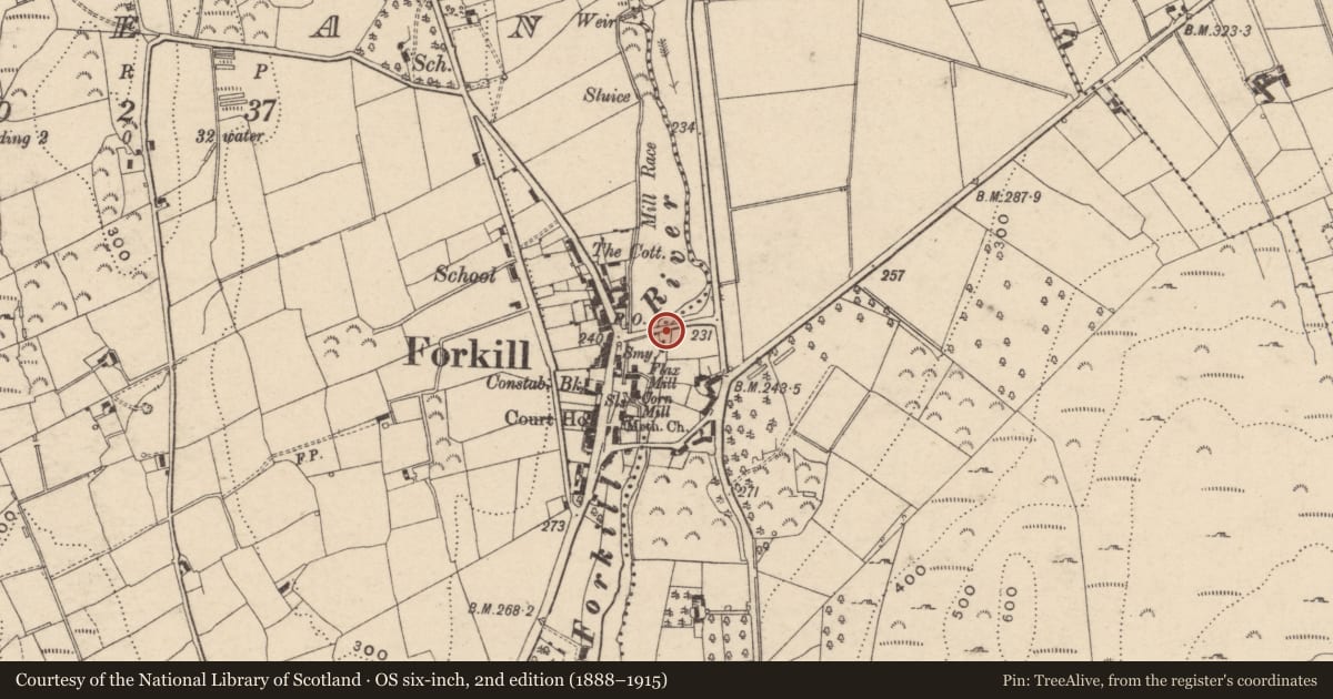
Slide toward Today to fade the historical sheet and see the modern map underneath.
David Rumsey Map Collection, Stanford LibrariesDavid Rumsey Map Collection, Stanford LibrariesDavid Rumsey Map Collection, Stanford LibrariesDavid Rumsey Map Collection, Stanford Libraries
4 historical maps cover this location, the earliest the 1790 map "Composite: Ireland." (David Rumsey Map Collection, Stanford Libraries).
Historical maps covering this location
- 1790 · Composite: Ireland. (David Rumsey Map Collection, Stanford Libraries)
- 1799 · Ireland. (David Rumsey Map Collection, Stanford Libraries)
- 1808 · Ireland. (David Rumsey Map Collection, Stanford Libraries)
- 1811 · Ireland. (David Rumsey Map Collection, Stanford Libraries)
The Department's description
Exterior description and setting
Three semicircular arches carry a two-lane road over the Forkhill River. E and middle arches wider and higher than that to W. Voussoirs of dressed granite. Piers, spandrels and parapets of random rubble; the latter is coped with larger granite blocks. Angled cutwaters (to arch spring level) of cast concrete on both sides.
Base of abutments and piers faced with concrete. Soffits have been 'Gunnited.' Long approach walls to each end, partly faced with concrete.
Historical information
Bridge is shown on 1835 OS 6” map and subsequent editions.
Primary sources:
1. OS 6” map, 1st edition, Co Armagh sheet 31 (PRONI OS 6/2/31/1).
Criteria for listing: architectural interest
Not listed
Criteria for listing: historic interest
Not listed
Evaluation
Although a pleasing landscape feature, this bridge is not of special architectural or historic interest.
Nearby in the register
- 14 Main StreetHouseunder 1 mi
- 27-31 Main StreetHouseunder 1 mi
- Welcome InnPublic Houseunder 1 mi
- 35 Main StreetDemolishedunder 1 mi
Other entries of the same register within about three miles of this one, by straight line.