Historic Buildings Record · Northern Ireland
Milestone
Ballinran, Council not recorded, Northern Ireland
The record
- Designation
- Record only (not listed)
- Grade
- Record Only
- Type
- Milestone
- Date of construction
- 1800 - 1819
- Address
- Milestone, Opposite Wood House, Between 86 & 96 Shore Road, Rostrevor, Newry, Co Down, BT34 3AB
- Townland
- Ballinran
- Council
- Council not recorded
- Country
- Northern Ireland
- Coordinates
- 54.08349, -6.18910
- Date of survey
- 09 July 1998
- HB reference
- HB16/05/032
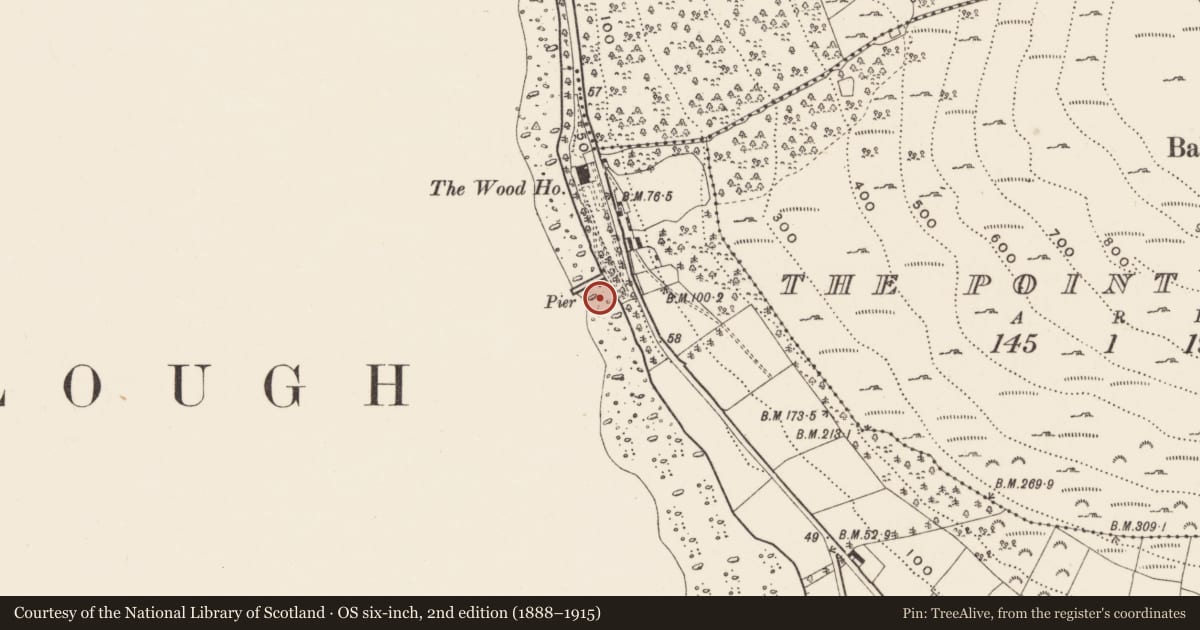
Slide toward Today to fade the historical sheet and see the modern map underneath.
David Rumsey Map Collection, Stanford LibrariesDavid Rumsey Map Collection, Stanford LibrariesDavid Rumsey Map Collection, Stanford LibrariesDavid Rumsey Map Collection, Stanford Libraries
4 historical maps cover this location, the earliest the 1790 map "Composite: Ireland." (David Rumsey Map Collection, Stanford Libraries).
Historical maps covering this location
- 1790 · Composite: Ireland. (David Rumsey Map Collection, Stanford Libraries)
- 1799 · Ireland. (David Rumsey Map Collection, Stanford Libraries)
- 1808 · Ireland. (David Rumsey Map Collection, Stanford Libraries)
- 1811 · Ireland. (David Rumsey Map Collection, Stanford Libraries)
The Department's description
Exterior description and setting
A finely-dressed granite post with pyramidal top on left side of road (travelling to Kilkeel). Projects c.75cm above ground and measures 30cm square in cross section. The figure 8 is incised 17cm high on its three road facing sides. There is also a crow’s-foot benchmark carved into its top front cant.
Historical information
Although this milestone is not marked on any edition of the 6” OS map, the fact that the measurement (denoting distance from Newry) is in Irish miles suggests that it is probably of early 19th century date.
Primary Sources:
1. PRONI - OS 6/3/54/1(1834 OS map) (Down sheet 54).
2. PRONI- OS 6/3/54/2 (1859 OS map) (Down sheet 54).
Criteria for listing: architectural interest
Not listed
Criteria for listing: historic interest
Not listed
Evaluation
An interesting survival, one of upwards of 20 such milestones which still survive (out of a total of 24) between Newry and Newcastle.
Nearby in the register
- The Wood HouseHouseunder 1 mi
- 34 Killowen Old RoadHouseunder 1 mi
- 40 Killowen RoadHouseunder 1 mi
- 8 Killowen VillageHouseunder 1 mi
Other entries of the same register within about three miles of this one, by straight line.