Historic Buildings Record · Northern Ireland
Knocknowan
Drains, Mid and East Antrim, Northern Ireland
The record
- Designation
- Record only (not listed)
- Grade
- Record Only
- Type
- House
- Date of construction
- 1860 - 1879
- Address
- Knocknowan, Old Glenarm Road, Drains, Carncastle, Larne, Co Antrim
- Townland
- Drains
- Council
- Mid and East Antrim
- Country
- Northern Ireland
- Coordinates
- 54.87598, -5.84429
- Date of survey
- 15 June 1997
- HB reference
- HB06/03/020
Slide toward Today to fade the historical sheet and see the modern map underneath.
David Rumsey Map Collection, Stanford LibrariesDavid Rumsey Map Collection, Stanford LibrariesDavid Rumsey Map Collection, Stanford Libraries
3 historical maps cover this location, the earliest the 1854 map "Ireland." (David Rumsey Map Collection, Stanford Libraries).
Historical maps covering this location
- 1854 · Ireland. (David Rumsey Map Collection, Stanford Libraries)
- 1857 · Ireland (David Rumsey Map Collection, Stanford Libraries)
- 1866 · Ireland. (David Rumsey Map Collection, Stanford Libraries)
The Department's description
Exterior description and setting
A two-storey three-bay house with white painted rendered walls, which in 1970 had a slated roof, all windows vertically hung timber sashes with full glazing bars, and its entrance recessed in a semi-circular headed opening with a panelled door surmounted by a fanlight with radial glazing bars. It now has modern windows in enlarged openings and a broad projecting modern porch over the entrance.
SETTING: It stands in a very rural location in open farmland, set well back from the main road, with plain rebuilt outbuildings behind it.
Historical information
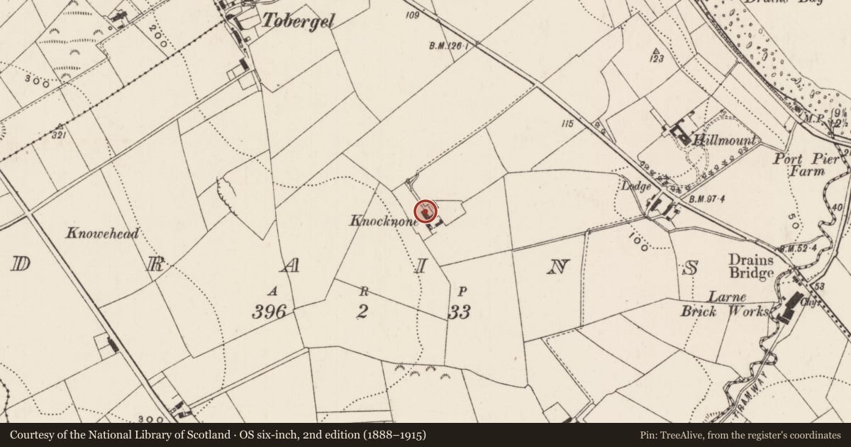
A small house appears on the first OS map but this is an enlargement of it, which appears on the 1903 map
References - Primary
1. OS Map 1833, Co Antrim 35.
2. OS Map 1903, Co Antrim 35.
Criteria for listing: architectural interest
Not listed
Criteria for listing: historic interest
Not listed
Evaluation
A 19th century house which has lost its original character through modernisation.
Nearby in the register
- Lodge at HillmountGates/ Screens/ Lodgesunder 1 mi
- HillmountHouseunder 1 mi
- Threshing Mill at Port Pier FarmOutbuildingsunder 1 mi
- Droagh CottageHouseunder 1 mi
Other entries of the same register within about three miles of this one, by straight line.