Historic Buildings Record · Northern Ireland
Drumnagreagh Hotel
Drumnagreagh, Mid and East Antrim, Northern Ireland
The record
- Designation
- Record only (not listed)
- Grade
- Record Only
- Type
- Hotel
- Date of listing
- 23 October 1979
- Date of delisting
- 9 June 1987
- Date of construction
- 1880 - 1899
- Address
- Drumnagreagh Hotel, 408 Coast Road, Drumnagreagh, Larne, Co Antrim
- Townland
- Drumnagreagh
- Council
- Mid and East Antrim
- Country
- Northern Ireland
- Coordinates
- 54.94314, -5.90359
- Date of survey
- 15 June 1997
- HB reference
- HB06/03/012
Slide toward Today to fade the historical sheet and see the modern map underneath.
David Rumsey Map Collection, Stanford LibrariesDavid Rumsey Map Collection, Stanford LibrariesDavid Rumsey Map Collection, Stanford Libraries
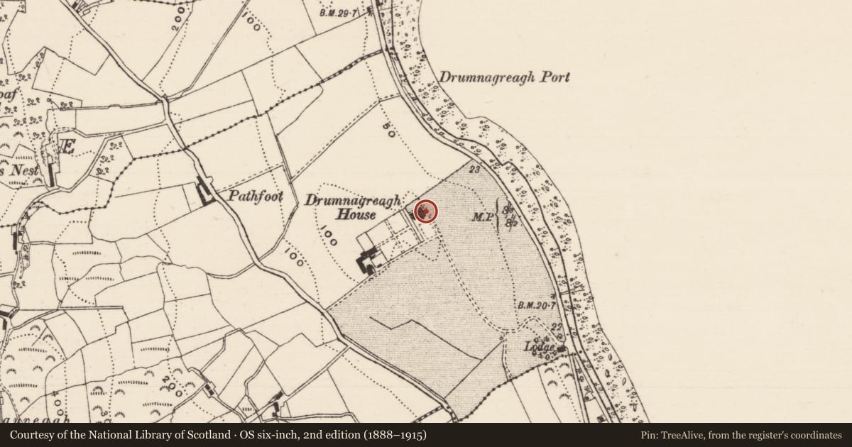
3 historical maps cover this location, the earliest the 1881 map "Ireland to Illustrate the Military Condition of the Country." (David Rumsey Map Collection, Stanford Libraries).
Historical maps covering this location
- 1881 · Ireland to Illustrate the Military Condition of the Country. (David Rumsey Map Collection, Stanford Libraries)
- 1883 · Scotland. (David Rumsey Map Collection, Stanford Libraries)
- 1891 · Ireland 16 (David Rumsey Map Collection, Stanford Libraries)
The Department's description
Exterior description and setting
A two-storey house with roughcast walls and hipped slated roof with extensive modern additions. In the first survey in 1970 it was described as “A two-storey house with rough cast walls and hipped slated roof with modillions to eaves cornice. There is a platband at first floor level and plain dressings to corners. Plain sashed windows are set in square moulded architraves. Square projecting bays on three faces contain paired windows, in segmental arched opening at upper level facing sea. The entrance is contained in a square projecting porch, plain pilasters rise to entablature and blocking course. The door is modern. An extension has been added to the west.”
SETTING: It stands in a remote location in a very rural area, situated on an elevated site above the main Coast Road, with distant views to the sea.
Historical information
Built for George McFerran c. 1880; first appearance is on OS map of 1903. This building was formerly listed and then delisted.
References - Primary
1. OS Map 1903, Co Antrim 30.
Criteria for listing: architectural interest
Not listed
Criteria for listing: historic interest
Not listed
Evaluation
A late Victorian house modernised and extended to form an hotel and now no longer of special architectural or historic interest.
Nearby in the register
Other entries of the same register within about three miles of this one, by straight line.