Historic Buildings Record · Northern Ireland
Bessbrook House
Rascahan, Causeway Coast and Glens, Northern Ireland
The record
- Designation
- Record only (not listed)
- Grade
- Record Only
- Type
- House
- Date of construction
- 1800 - 1819
- Address
- Bessbrook House, 46 Ballykelly Road, Limavady, Co Londonderry
- Townland
- Rascahan
- Council
- Causeway Coast and Glens
- Country
- Northern Ireland
- Coordinates
- 55.05059, -6.98060
- Date of survey
- 19 September 1997
- HB reference
- HB02/10/037
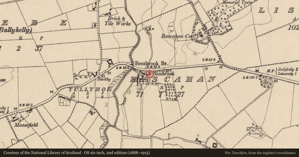
Slide toward Today to fade the historical sheet and see the modern map underneath.
David Rumsey Map Collection, Stanford LibrariesDavid Rumsey Map Collection, Stanford LibrariesDavid Rumsey Map Collection, Stanford LibrariesDavid Rumsey Map Collection, Stanford Libraries
4 historical maps cover this location, the earliest the 1811 map "Ireland." (David Rumsey Map Collection, Stanford Libraries).
Historical maps covering this location
- 1811 · Ireland. (David Rumsey Map Collection, Stanford Libraries)
- 1811 · Ireland (David Rumsey Map Collection, Stanford Libraries)
- 1817 · Ireland. (David Rumsey Map Collection, Stanford Libraries)
- 1825 · Ireland. (David Rumsey Map Collection, Stanford Libraries)
The Department's description
Exterior description and setting
A six bay wide two storey house with slated roof at a pitch of 40/45º. Thereare four chimney stacks with coloured rendering and pebble dash. On the south side there are two large bays, one rectangular, the other canted. It is likely that the road line changed and originally passed on the south side of the house.
Historical information
John Ogilby occupied house in 1781 and it was later in the ownership of the Hamiltons, McCauslands, Shannons and McAtamneys.
References:
T H Mullin, Limavady and the Roe Valley.
Criteria for listing: architectural interest
Not listed
Criteria for listing: historic interest
Not listed
Evaluation
Building does not merit listing - only recorded for it's apparent age.
Nearby in the register
- House near BessbrookHouseunder 1 mi
- Rascahan CottageHouseunder 1 mi
- LodgeHouseunder 1 mi
- Sampson’s Memorial TowerTowerunder 1 mi
Other entries of the same register within about three miles of this one, by straight line.