Historic Buildings Record · Northern Ireland
Flax Mill
Derry City and Strabane, Northern Ireland
The record
- Designation
- Record only (not listed)
- Grade
- Record Only
- Type
- No type recorded
- Address
- Flax Mill, Mill Buildings at Cumber Bridge, Claudy, County Londonderry
- Council
- Derry City and Strabane
- Country
- Northern Ireland
- Coordinates
- 54.90346, -7.16653
- Date of survey
- 19 February 2014
- HB reference
- HB01/02/037 C
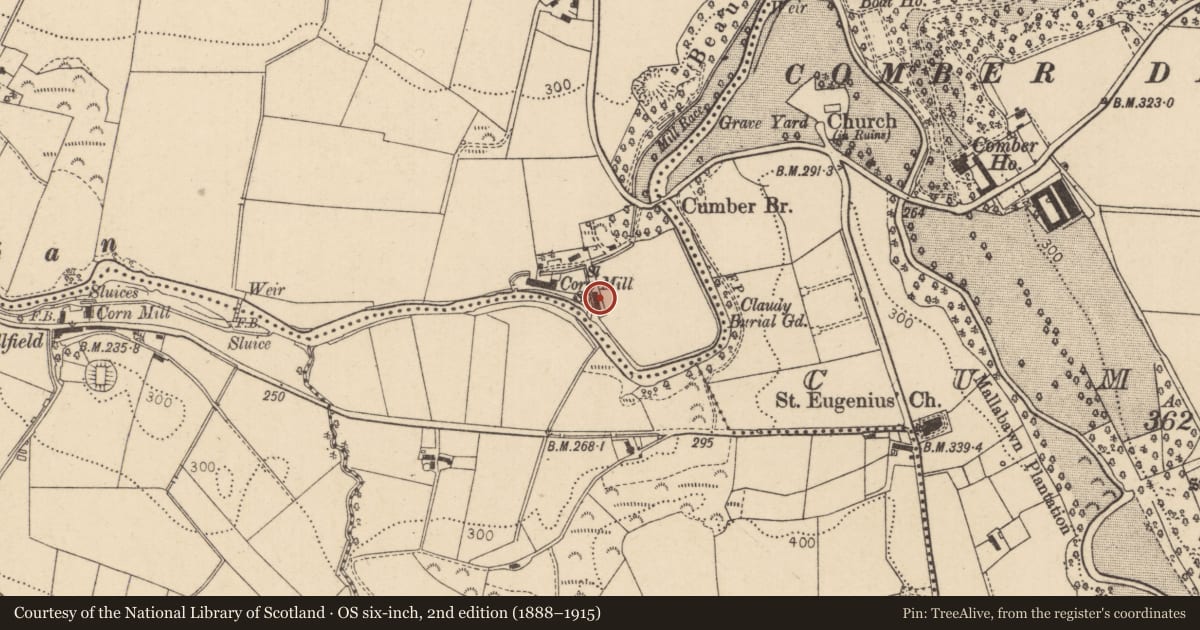
Slide toward Today to fade the historical sheet and see the modern map underneath.
David Rumsey Map Collection, Stanford LibrariesDavid Rumsey Map Collection, Stanford LibrariesDavid Rumsey Map Collection, Stanford LibrariesDavid Rumsey Map Collection, Stanford Libraries
4 historical maps cover this location, the earliest the 1881 map "Ireland to Illustrate the Military Condition of the Country." (David Rumsey Map Collection, Stanford Libraries).
Historical maps covering this location
- 1881 · Ireland to Illustrate the Military Condition of the Country. (David Rumsey Map Collection, Stanford Libraries)
- 1891 · Ireland 16 (David Rumsey Map Collection, Stanford Libraries)
- 1900 · Ireland (David Rumsey Map Collection, Stanford Libraries)
- 1922 · Ireland - northern section. (David Rumsey Map Collection, Stanford Libraries)
The Department's description
Exterior description and setting
A long oblong two-storey rubble stone pitched slate roofed former flax mill with mill race adjoining its west elevation. Inappropriate alterations include the insertion of a large opening in the north gable, the loss of the first floor and concrete blockwork repairs.
Historical information
N/A
Criteria for listing: architectural interest
Not listed
Criteria for listing: historic interest
Not listed
Evaluation
A long oblong two-storey rubble stone pitched slate roofed former flax mill with mill race adjoining its west elevation. Inappropriate alterations include the insertion of a large opening in the north gable, the loss of the first floor and concrete blockwork repairs. It has been much altered and is not of special interest.
General comments
Partial survey only - It has been much altered and is not of special interest.
Nearby in the register
- Dwelling House 1No type recordedunder 1 mi
- Dwelling House 2No type recordedunder 1 mi
- Cumber BridgeBridgeunder 1 mi
- 24 Lower Ballyarton RoadHouseunder 1 mi
Other entries of the same register within about three miles of this one, by straight line.