Historic Buildings Record · Northern Ireland
Ballyarton Mill
Derry City and Strabane, Northern Ireland
The record
- Designation
- Record only (not listed)
- Grade
- Record Only
- Type
- No type recorded
- Address
- Ballyarton Mill, Lower Ballyarton Road, Ballyarton TD, Claudy, County Londonderry, BT47 4HZ
- Council
- Derry City and Strabane
- Country
- Northern Ireland
- Coordinates
- 54.90877, -7.18697
- Date of survey
- 26 February 2014
- HB reference
- HB01/02/015
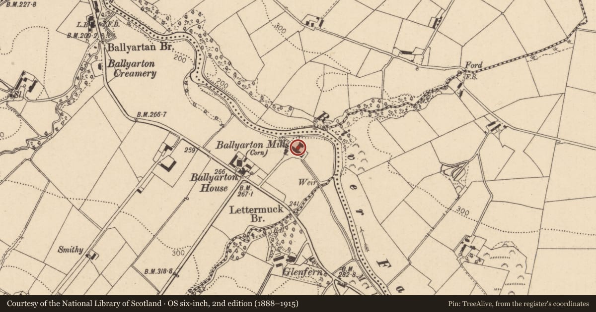
Slide toward Today to fade the historical sheet and see the modern map underneath.
David Rumsey Map Collection, Stanford LibrariesDavid Rumsey Map Collection, Stanford LibrariesDavid Rumsey Map Collection, Stanford LibrariesDavid Rumsey Map Collection, Stanford Libraries
4 historical maps cover this location, the earliest the 1869 map "Ireland." (David Rumsey Map Collection, Stanford Libraries).
Historical maps covering this location
- 1869 · Ireland. (David Rumsey Map Collection, Stanford Libraries)
- 1881 · Ireland to Illustrate the Military Condition of the Country. (David Rumsey Map Collection, Stanford Libraries)
- 1891 · Ireland 16 (David Rumsey Map Collection, Stanford Libraries)
- 1900 · Ireland (David Rumsey Map Collection, Stanford Libraries)
The Department's description
Exterior description and setting
Ballyarton Mill, a group of two and three storey whinstone buildings, is located on the banks of the Faughan River 120m to the north west of Ballyarton House (HB01/02/015) accessed off the Ballyarton Road approximately 4.4 km west of Claudy. It is in poor condition with vacant, derelict and partially collapsed sections.
Historical information
N/A
Criteria for listing: architectural interest
Not listed
Criteria for listing: historic interest
Not listed
Evaluation
Ballyarton Mill, a group of two and three storey whinstone buildings, is located on the banks of the Faughan River 120m to the north west of Ballyarton House (HB01/02/015) accessed off the Ballyarton Road approximately 4.4 km west of Claudy. Ballyarton Mill was a bleaching mill in the 1830s, a corn mill by the 1900s and the site is currently being used as a trout farm. The mill was surveyed in the First Survey, found to be derelict, and not listed. It is in poor condition with vacant, derelict and partially collapsed sections. It does not meet the statutory and policy tests as a building of special historic or architectural interest.
General comments
Partial Survey Only - Ballyarton Mill is in poor condition with vacant, derelict and partially collapsed sections. It does not meet the statutory and policy tests as a building of special historic or architectural interest.
This mill complex is on the Industrial Hereitage Record Ref: 01918:000:00
Nearby in the register
- Ballyarton HouseNo type recordedunder 1 mi
- 118 Ballyartan RoadHouseunder 1 mi
- Toneduff BridgeBridgeunder 1 mi
- SCUTCH MILLMILLunder 1 mi
Other entries of the same register within about three miles of this one, by straight line.