Sites and Monuments Record · Ireland
Millstone quarry
Templetown, County Wexford, Ireland
The record
- Townland
- Templetown
- County
- Wexford
- Country
- Ireland
- First-edition OS map
- Not indicated
- Latest-edition OS map
- Not indicated
- Coordinates
- 52.16627, -6.89988
- SMR number
- WX049-018----
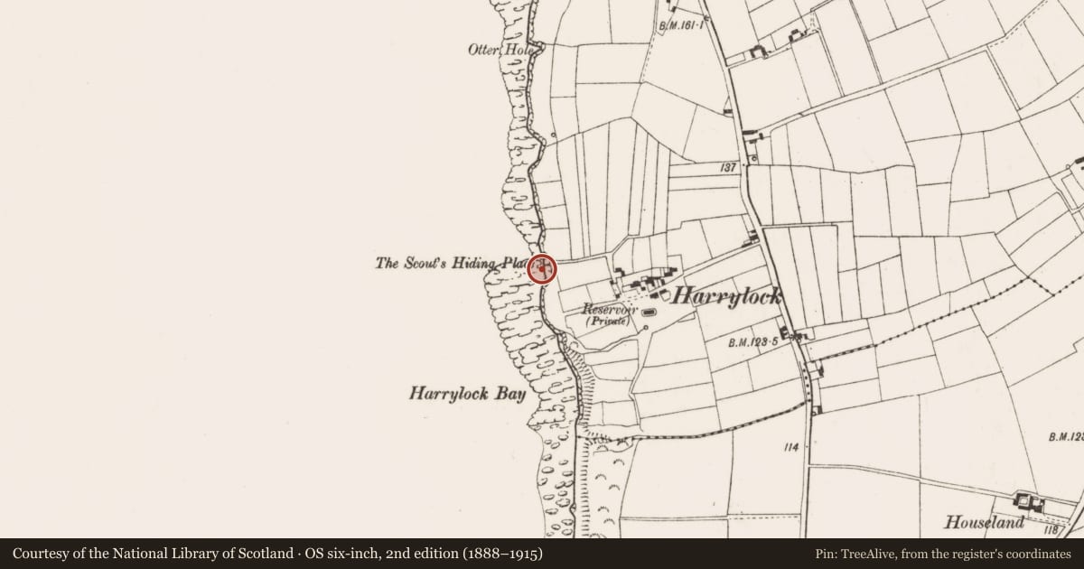
Slide toward Today to fade the historical sheet and see the modern map underneath.
David Rumsey Map Collection, Stanford LibrariesDavid Rumsey Map Collection, Stanford LibrariesDavid Rumsey Map Collection, Stanford LibrariesDavid Rumsey Map Collection, Stanford Libraries
4 historical maps cover this location, the earliest the 1790 map "Composite: Ireland." (David Rumsey Map Collection, Stanford Libraries).
Historical maps covering this location
- 1790 · Composite: Ireland. (David Rumsey Map Collection, Stanford Libraries)
- 1869 · Ireland. (David Rumsey Map Collection, Stanford Libraries)
- 1882 · Ireland (southern half). (David Rumsey Map Collection, Stanford Libraries)
- 1891 · Ireland 16 (David Rumsey Map Collection, Stanford Libraries)
This record in the National Monuments Service's Historic Environment Viewer ↗
The National Monuments Service's description
Situated in the inter-tidal zone with sea-cliffs (H c. 10m) rising over it to the E. This is a rock platform of Old Red Sandstone conglomerate with four millstones in the process of being extracted (diam. 1.4-1.5m). There are two extracted but unfinished millstones nearby. Locally it is said the rising tide was used to expand wooden wedges in the rock to separate out the rough-outs, and they were floated off on barges. The date is not known, but the earliest reference is 1736 (Colfer 2004, 127-8) and it was still operating in the early 19th century (Lewis, 1837. vol. 1, 628).
The above description is derived from the published 'Archaeological Inventory of County Wexford' (Dublin: Stationery Office, 1996). In certain instances the entries have been revised and updated in the light of recent research.
Compiled by: Michael Moore
Date of upload/revision: 5 February 2014
References
Colfer, B. 2004 The Hook peninsula. Cork, University Press
Lewis, S. 1837 A topographical dictionary of Ireland, 2 vols. London. Lewis and Co.
Nearby in the register
- Enclosureunder 1 mi
- Windmillunder 1 mi
- Gatewayunder 1 mi
- Inscribed stoneunder 1 mi
Other entries of the same register within about three miles of this one, by straight line.