Sites and Monuments Record · Ireland
Passage tomb art
Clone, County Wexford, Ireland
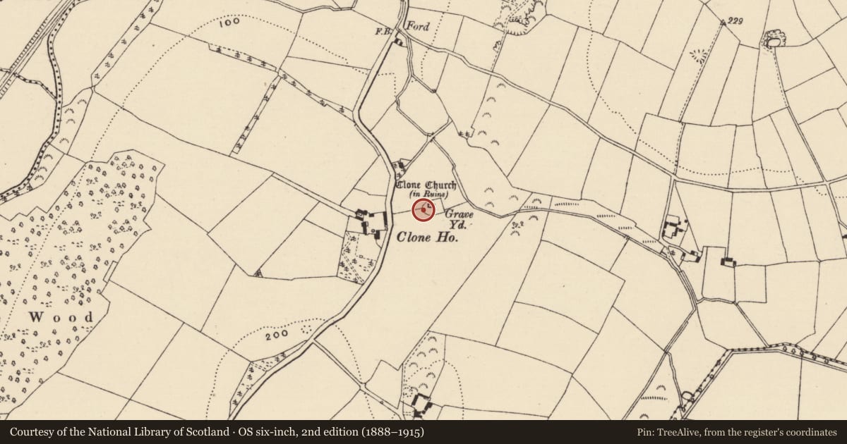
The record
- Townland
- Clone
- County
- Wexford
- Country
- Ireland
- First-edition OS map
- Not indicated
- Latest-edition OS map
- Not indicated
- Coordinates
- 52.56838, -6.50510
- SMR number
- WX015-023014-
Slide toward Today to fade the historical sheet and see the modern map underneath.
University Library, Vrije Universiteit AmsterdamUniversity Library, Vrije Universiteit AmsterdamDavid Rumsey Map Collection, Stanford LibrariesDavid Rumsey Map Collection, Stanford Libraries
4 historical maps cover this location, the earliest the 1799 map "Ireland." (David Rumsey Map Collection, Stanford Libraries).
Historical maps covering this location
- 1799 · Ireland. (David Rumsey Map Collection, Stanford Libraries)
- 1891 · Ireland 16 (David Rumsey Map Collection, Stanford Libraries)
- 1904 · Sheet 14, 1904 (University Library, Vrije Universiteit Amsterdam)
- 1911 · Sheet 14, 1911 (University Library, Vrije Universiteit Amsterdam)
This record in the National Monuments Service's Historic Environment Viewer ↗
The National Monuments Service's description
About 5m W of the Romanesque doorway of Clone parish church (WX015-023001-) and within the graveyard is a grave-marker (dims 0.54m x 0.18m) with a rough point on top (H 0.82m) which has a lightly pecked curvilinear design on its E face occupying most of the stone. It consists of at least four arcs of closely-spaced lines curving up one side of the stone, around the top and down the other side in an oval pattern that is not closed visibly above the ground. It is undoubtedly prehistoric, and most resembles passage tomb art.
See the attached images, the rubbing courtesy of Barry Lacey and friends
Compiled by: Michael Moore
Date of upload: 28 August, 2018
Nearby in the register
- Cross-slabunder 1 mi
- Sundialunder 1 mi
- Bullaun stoneunder 1 mi
- Cross-slabunder 1 mi
Other entries of the same register within about three miles of this one, by straight line.