Sites and Monuments Record · Ireland
Fulacht fia
Ask, County Wexford, Ireland
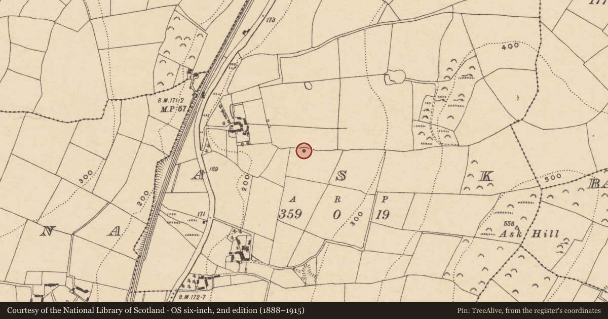
The record
- Townland
- Ask
- County
- Wexford
- Country
- Ireland
- First-edition OS map
- Not indicated
- Latest-edition OS map
- Not indicated
- Coordinates
- 52.70294, -6.26195
- SMR number
- WX007-074001-
Slide toward Today to fade the historical sheet and see the modern map underneath.
David Rumsey Map Collection, Stanford LibrariesDavid Rumsey Map Collection, Stanford LibrariesDavid Rumsey Map Collection, Stanford LibrariesDavid Rumsey Map Collection, Stanford Libraries
4 historical maps cover this location, the earliest the 1799 map "Ireland." (David Rumsey Map Collection, Stanford Libraries).
Historical maps covering this location
- 1799 · Ireland. (David Rumsey Map Collection, Stanford Libraries)
- 1811 · Ireland. (David Rumsey Map Collection, Stanford Libraries)
- 1841 · Ireland. (David Rumsey Map Collection, Stanford Libraries)
- 1891 · Ireland 16 (David Rumsey Map Collection, Stanford Libraries)
This record in the National Monuments Service's Historic Environment Viewer ↗
The National Monuments Service's description
This site was excavated (E3500) during 2005 as Site 40 of the N11 Gorey to Arklow link. Located on a slight shelf on the lower W-facing slope of Ask Hill. A mound of broken and burnt stone (dims 5.7m x 4.9m; T 0.27m) overlay a circular, nearly straight-sided and flat-bottomed trough (diam. 1.9-2m; D 0.95m) which had been re-cut. A group of stake-holes immediately to the S could have pre-dated it, but a roughly metalled surface partly overlies the trough, although also incorporated into the mound. Five pits (diam. c. 0.7m-1.5m; D 0.1-0.5m) at a distance from the mound (10-20m) are probably related as many contain burnt mound material. The furnace (WX007-074002-) is just S of the trough. The house (WX007-073----) is c. 100m to the SW and the fulacht fia (WX007-075----) is c. 100m to the N. (Bower 2008)
Compiled by: Michael Moore
Date of upload: 16 March, 2012
References
Bower, N. 2008 N11 Gorey to Arklow link: Archaeogical Resolution. Preliminary report AD03/036 E3500 Site 40. Ask, Co. Wexford. Unpublished report: V. J. Keeley Ltd.
Nearby in the register
- Furnaceunder 1 mi
- Fulacht fiaunder 1 mi
- House - Neolithicunder 1 mi
- Excavation - miscellaneousunder 1 mi
Other entries of the same register within about three miles of this one, by straight line.