Sites and Monuments Record · Ireland
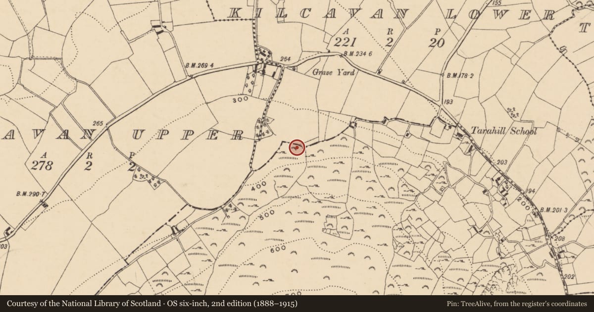
Ritual site - holy well
Tarahill, County Wexford, Ireland
The record
- Townland
- Tarahill
- County
- Wexford
- Country
- Ireland
- First-edition OS map
- Not indicated
- Latest-edition OS map
- St Winifreds Well
- Coordinates
- 52.70498, -6.21755
- SMR number
- WX007-013----
Slide toward Today to fade the historical sheet and see the modern map underneath.
David Rumsey Map Collection, Stanford LibrariesDavid Rumsey Map Collection, Stanford LibrariesDavid Rumsey Map Collection, Stanford LibrariesDavid Rumsey Map Collection, Stanford Libraries
4 historical maps cover this location, the earliest the 1799 map "Ireland." (David Rumsey Map Collection, Stanford Libraries).
Historical maps covering this location
- 1799 · Ireland. (David Rumsey Map Collection, Stanford Libraries)
- 1811 · Ireland. (David Rumsey Map Collection, Stanford Libraries)
- 1841 · Ireland. (David Rumsey Map Collection, Stanford Libraries)
- 1891 · Ireland 16 (David Rumsey Map Collection, Stanford Libraries)
This record in the National Monuments Service's Historic Environment Viewer ↗
The National Monuments Service's description
Marked only on the 1940 ed. of the OS 6-inch map where it is described as St. Winifred's Well, defived from local sources (OSFM). This 7th century Welsh saint is associated with the healing power of springs and her feastday is celebrated on the 2nd of November (http://en.wikipedia.org/wiki/Winefride). The well is located towards the bottom of the steep N-facing slope of Tara Hill where a gentler slope begins. This is a natural spring with no evidence of veneration. The parish church of Kilcavan (WX007-010001-) is c. 200m to the N.
Compiled by: Michael Moore
Date of upload: 26 November, 2012
References
OSFM. Ordnance Survey Field Memorandums. A collection of survey notes and descriptions of monuments on pro-forma sheets compiled by Ordnance Survey field staff in the course of the 1:2500 map revision of various counties, mostly dating from 1931 – early 1960s. These unpublished manuscripts form part of the records of the Archaeological Survey of Ireland, National Monuments Service Archive, Dublin.
Nearby in the register
- Churchunder 1 mi
- Graveyardunder 1 mi
- Megalithic tomb - unclassifiedunder 1 mi
- Ringfort - rathunder 1 mi
Other entries of the same register within about three miles of this one, by straight line.