Sites and Monuments Record · Ireland
Standing stone
Clonmorrill, County Westmeath, Ireland
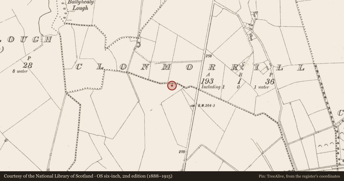
The record
- Townland
- Clonmorrill
- County
- Westmeath
- Country
- Ireland
- First-edition OS map
- Not indicated
- Latest-edition OS map
- Not indicated
- Coordinates
- 53.59684, -7.04008
- SMR number
- WM014-027----
Slide toward Today to fade the historical sheet and see the modern map underneath.
David Rumsey Map Collection, Stanford LibrariesDavid Rumsey Map Collection, Stanford LibrariesDavid Rumsey Map Collection, Stanford LibrariesDavid Rumsey Map Collection, Stanford Libraries
4 historical maps cover this location, the earliest the 1790 map "Composite: Ireland." (David Rumsey Map Collection, Stanford Libraries).
Historical maps covering this location
- 1790 · Composite: Ireland. (David Rumsey Map Collection, Stanford Libraries)
- 1811 · Ireland. (David Rumsey Map Collection, Stanford Libraries)
- 1869 · Ireland. (David Rumsey Map Collection, Stanford Libraries)
- 1891 · Ireland 16 (David Rumsey Map Collection, Stanford Libraries)
This record in the National Monuments Service's Historic Environment Viewer ↗
The National Monuments Service's description
In undulating glacial pasture on the immediate N bank of a dredged stream that marks the townland boundary with Clonleame. The standing stone is located 25m W of a local road that bisects both Clonmorrill and Clonleame townlands. The stone is situated at the S end of a large field reclaimed in 2018. There are few known monuments in the vicinity of the site with the exception of two ringforts (WM014-026/-015----) located 300m W and 900m N respectively. The standing stone is located N of a trackway (no longer extant) depicted on OSi 1840 ed. 6-inch map, the standing stone is not depicted on any historic OSi maps. The standing stone was identified by the writer during fieldwork in 2021 as a limestone standing stone with a roughly rectangular cross-section (H 1.15m; Wth 0.45m) and a (possibly) broken top. The standing stone sits in a low ridge or potential cairn (Dims. 5.5m N/S x 3m E/W; H 0.5m). The monument is not visible on Google Earth orthoimages as it is located in shade under the hedgerow that lines the stream to the S.
Compiled by: Edmond O’Donovan
Nearby in the register
- Ringfort - rathunder 1 mi
- Ringfort - unclassifiedunder 1 mi
- Ringfort - rath1 mi
- Mill - corn1 mi
Other entries of the same register within about three miles of this one, by straight line.