Sites and Monuments Record · Ireland
Settlement cluster
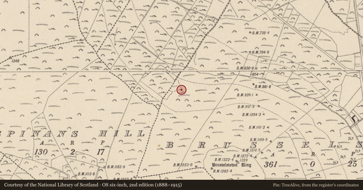
Brusselstown,Coolamaddra, County Wicklow, Ireland
The record
- Townland
- Brusselstown,Coolamaddra
- County
- Wicklow
- Country
- Ireland
- Coordinates
- 52.96630, -6.62027
- SMR number
- WI027-078003-
Slide toward Today to fade the historical sheet and see the modern map underneath.
David Rumsey Map Collection, Stanford LibrariesDavid Rumsey Map Collection, Stanford LibrariesDavid Rumsey Map Collection, Stanford LibrariesDavid Rumsey Map Collection, Stanford Libraries
4 historical maps cover this location, the earliest the 1790 map "Composite: Ireland." (David Rumsey Map Collection, Stanford Libraries).
Historical maps covering this location
- 1790 · Composite: Ireland. (David Rumsey Map Collection, Stanford Libraries)
- 1799 · Ireland. (David Rumsey Map Collection, Stanford Libraries)
- 1830 · V.3:11-15:XV. Britisches Reich. C. Kon: Ireland. a. Prov: Leinster. Counties: 1-12 (David Rumsey Map Collection, Stanford Libraries)
- 1891 · Ireland 16 (David Rumsey Map Collection, Stanford Libraries)
This record in the National Monuments Service's Historic Environment Viewer ↗
The National Monuments Service's description
On the N-facing slopes of Spinans Hill, outside the N rampart of the large contour fort (WI027-078001-/WI021-080001-). Settlement comprising enclosures, hut sites and field walls are evident on aerial photography covering an area c. 320m x 145m. (Condit 1992, 16-20)
Compiled by: Mary Tunney
Date of upload: 11 December 2012
References
Condit, T. 1992 Irelands hillfort capital. Archaeology Ireland 6 (3), 16-20.
Nearby in the register
Other entries of the same register within about three miles of this one, by straight line.