Sites and Monuments Record · Ireland
Ritual site - holy well
Ballyknockan (Talbotstown Lower By.), County Wicklow, Ireland
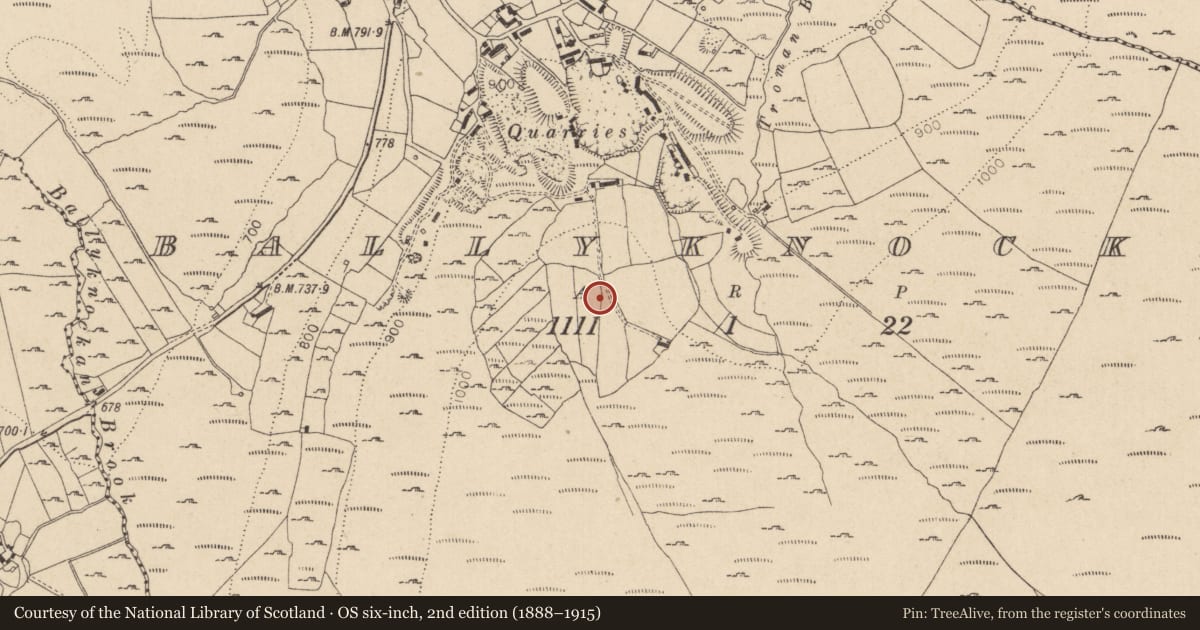
The record
- Townland
- Ballyknockan (Talbotstown Lower By.)
- County
- Wicklow
- Country
- Ireland
- Coordinates
- 53.10109, -6.49478
- SMR number
- WI010-054002-
Slide toward Today to fade the historical sheet and see the modern map underneath.
David Rumsey Map Collection, Stanford LibrariesDavid Rumsey Map Collection, Stanford LibrariesDavid Rumsey Map Collection, Stanford LibrariesDavid Rumsey Map Collection, Stanford Libraries
4 historical maps cover this location, the earliest the 1799 map "Ireland." (David Rumsey Map Collection, Stanford Libraries).
Historical maps covering this location
- 1799 · Ireland. (David Rumsey Map Collection, Stanford Libraries)
- 1811 · Ireland. (David Rumsey Map Collection, Stanford Libraries)
- 1830 · V.3:11-15:XV. Britisches Reich. C. Kon: Ireland. a. Prov: Leinster. Counties: 1-12 (David Rumsey Map Collection, Stanford Libraries)
- 1891 · Ireland 16 (David Rumsey Map Collection, Stanford Libraries)
This record in the National Monuments Service's Historic Environment Viewer ↗
The National Monuments Service's description
According to Lynch (1994, 643) there is a holy well in the townland of Ballyknockan that is mentioned in the 1930s Irish Folklore Commission, Schools Manuscript Collection (IFC S 917: 22; IFC 654: 95). A small stone cross (WI010-054----) stands beside the well which was blessed by Fr. Rowan (Lynch 1994, 643).
Compiled by: Caimin O'Brien
Date of upload: 22 January 2013
References
Lynch, G. 1994 The holy wells of county Wicklow: traditions and legends. In K. Hannigan and W. Nolan (eds), Wicklow history and society, 625-48. Dublin. Geography Publications.
Nearby in the register
- Crossunder 1 mi
- Fulacht fiaunder 1 mi
- Cross-inscribed stoneunder 1 mi
- Children's burial groundunder 1 mi
Other entries of the same register within about three miles of this one, by straight line.