Sites and Monuments Record · Ireland
Hut site
Middlequarter (Newcastle Par.), County Tipperary South, Ireland
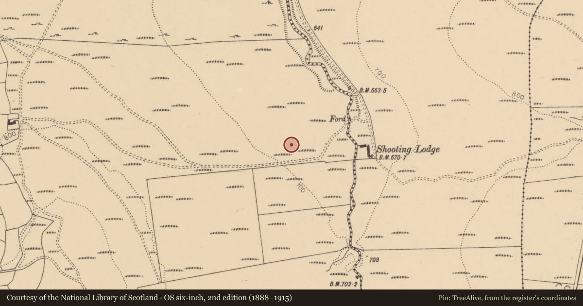
The record
- Townland
- Middlequarter (Newcastle Par.)
- County
- Tipperary South
- Country
- Ireland
- First-edition OS map
- Not indicated
- Latest-edition OS map
- Not indicated
- Coordinates
- 52.23978, -7.80322
- SMR number
- TS091-009011-
Slide toward Today to fade the historical sheet and see the modern map underneath.
David Rumsey Map Collection, Stanford LibrariesDavid Rumsey Map Collection, Stanford LibrariesDavid Rumsey Map Collection, Stanford LibrariesDavid Rumsey Map Collection, Stanford Libraries
4 historical maps cover this location, the earliest the 1790 map "Composite: Ireland." (David Rumsey Map Collection, Stanford Libraries).
Historical maps covering this location
- 1790 · Composite: Ireland. (David Rumsey Map Collection, Stanford Libraries)
- 1882 · Ireland (southern half). (David Rumsey Map Collection, Stanford Libraries)
- 1891 · Ireland 16 (David Rumsey Map Collection, Stanford Libraries)
- 1904 · Sheet 13. (David Rumsey Map Collection, Stanford Libraries)
This record in the National Monuments Service's Historic Environment Viewer ↗
The National Monuments Service's description
On a gradual NE-facing slope of a ridge between Knocknagearagh hill to the N and Knockardbounce hill to the S in the Knockmealdown mountains, in a river valley. A possible hut site (TS091-009010-) is located 12m to the NNW. This is part of a complex of enclosures (TS091-009001-; TS091-009007-; TS091-009008-; TS091-009009-; TS091-009012-), hut sites (TS091-009003-; TS091-009004-; TS091-009006-; TS091-009010-; TS091-009015-), a possible ring-cairn (TS091-009002-), clearance cairns (TS091-009005-) and a field system (TS091-009013-) identified by Diarmuid O'Keeffe, 1996. A roughly circular enclosure (int. diam. 4.1m N-S; 4.4m E-W, ext. diam. 6.1m N-S; 5.7m E-W) defined by a sandstone rubble wall (Wth 0.65-1m; int. H 0.23-0.5m; ext. H 0.18-0.26m). The interior slopes to the NE. There is no obvious entrance.
Compiled by: Jean Farrelly
Date of upload: 03 March 2014
Nearby in the register
- Hut siteunder 1 mi
- Enclosureunder 1 mi
- Cairnfieldunder 1 mi
- Hut siteunder 1 mi
Other entries of the same register within about three miles of this one, by straight line.