Sites and Monuments Record · Ireland
Standing stone - pair
Aughavanlomaun, County Tipperary South, Ireland
The record
- Townland
- Aughavanlomaun
- County
- Tipperary South
- Country
- Ireland
- First-edition OS map
- Not indicated
- Latest-edition OS map
- Dallaun
- Coordinates
- 52.23145, -7.75645
- SMR number
- TS091-005----
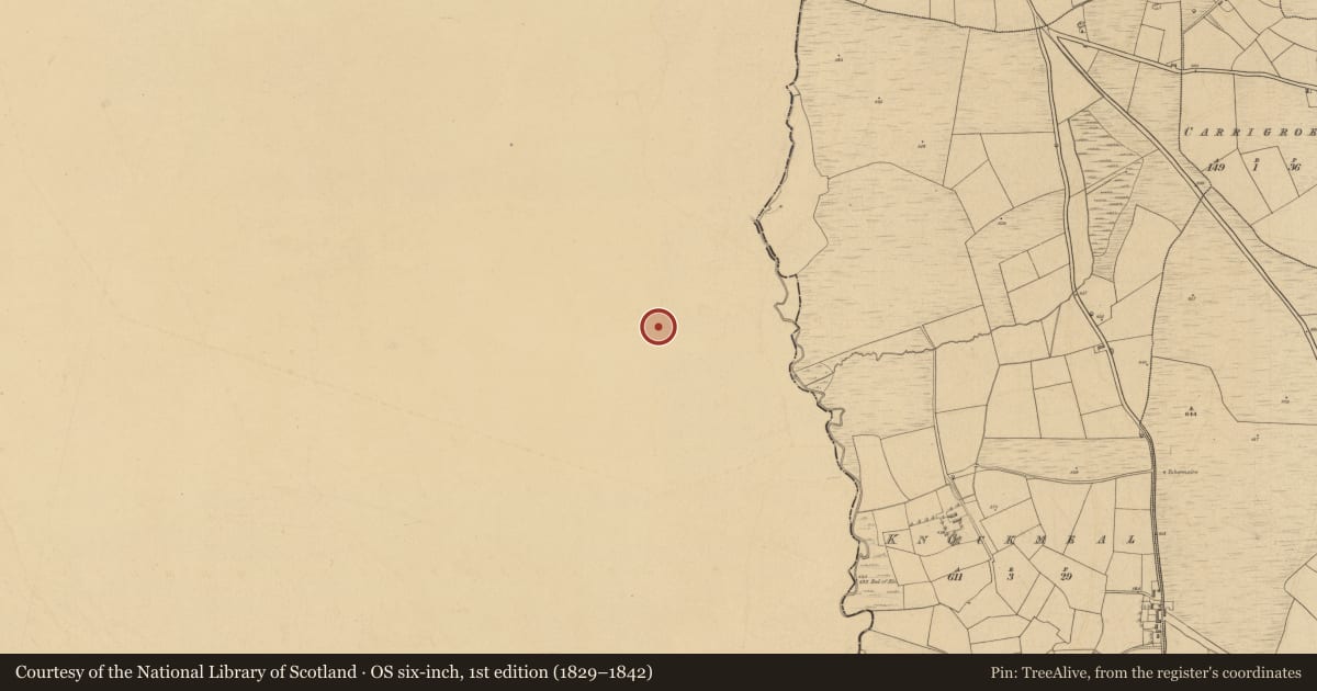
Slide toward Today to fade the historical sheet and see the modern map underneath.
David Rumsey Map Collection, Stanford LibrariesDavid Rumsey Map Collection, Stanford LibrariesDavid Rumsey Map Collection, Stanford LibrariesDavid Rumsey Map Collection, Stanford Libraries
4 historical maps cover this location, the earliest the 1790 map "Composite: Ireland." (David Rumsey Map Collection, Stanford Libraries).
Historical maps covering this location
- 1790 · Composite: Ireland. (David Rumsey Map Collection, Stanford Libraries)
- 1882 · Ireland (southern half). (David Rumsey Map Collection, Stanford Libraries)
- 1891 · Ireland 16 (David Rumsey Map Collection, Stanford Libraries)
- 1904 · Sheet 13. (David Rumsey Map Collection, Stanford Libraries)
This record in the National Monuments Service's Historic Environment Viewer ↗
The National Monuments Service's description
On the break of an E-facing slope in upland terrain, under pasture. Stone pair aligned NE (50 degrees)-SW (230 degrees). Lower stone(max. H 0.97m) at the NE end of the alignment has a rounded profile and leans to SE. It is composed of reddish sandstone with quartz veins and has an irregular rectangular plan (Wth 0.5m NE; 0.8m SE; 0.64m SW; 1.12m NW). The taller stone (H 1.93), lies 1.3m to SW. It is composed of a darker red sandstone and has a number of packing stones around its base. It is roughly square in plan (Wth 0.55m NE; 0.6m SE; 0.64m SW; 0.55m NW), though it broadens out towards its flat top (Wth 0.69m NW). This stone is badly spawled, however, there is a suggestion of ogham script on the S angle, with two incisded horizontal lines 0.44m from the top and 0.03m apart. There are a number of loose stones lying about, possibly clearance. Slight hollow at base of both stones probably result of cattle scratching.
Compiled by: Jean Farrelly
Date of upload: 26 August 2011
Nearby in the register
- Standing stoneunder 1 mi
- Ogham stoneunder 1 mi
- Enclosureunder 1 mi
- Standing stone - pair1 mi
Other entries of the same register within about three miles of this one, by straight line.