Sites and Monuments Record · Ireland
Tomb - chest tomb
Ardfinnan, County Tipperary South, Ireland
The record
- Townland
- Ardfinnan
- County
- Tipperary South
- Country
- Ireland
- First-edition OS map
- Not indicated
- Latest-edition OS map
- Not indicated
- Coordinates
- 52.31401, -7.87817
- SMR number
- TS088-002003-
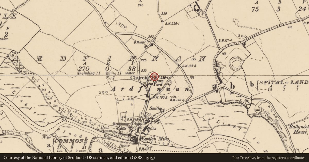
Slide toward Today to fade the historical sheet and see the modern map underneath.
David Rumsey Map Collection, Stanford LibrariesDavid Rumsey Map Collection, Stanford LibrariesDavid Rumsey Map Collection, Stanford LibrariesDavid Rumsey Map Collection, Stanford Libraries
4 historical maps cover this location, the earliest the 1790 map "Composite: Ireland." (David Rumsey Map Collection, Stanford Libraries).
Historical maps covering this location
- 1790 · Composite: Ireland. (David Rumsey Map Collection, Stanford Libraries)
- 1882 · Ireland (southern half). (David Rumsey Map Collection, Stanford Libraries)
- 1891 · Ireland 16 (David Rumsey Map Collection, Stanford Libraries)
- 1904 · Sheet 13. (David Rumsey Map Collection, Stanford Libraries)
This record in the National Monuments Service's Historic Environment Viewer ↗
The National Monuments Service's description
In the SE corner of the graveyard, adjacent to the boundary wall, there is a large altar tomb. The upper slab commemorates Dermot O'Halley and has wife Katherina Roche/Rochester. The slab (dims. 2m x 1.17m; T 0.19m) is decorated with a large wheel-cross with fleur-de-lys terminals and a plain shaft which terminates in a calvary mount. Both sides of the shaft are decorated with plain heater-shaped shields. The perimeter of the slab bears the following latin inscription in plain raised lettering: 'Hic Jacet Dermicius O Halli Propria Cum Uxore Katherina Rocheecer Unt Fier Marmoris is Udopus Anno Domini 162?' (Farrelly and FitzPatrick, Field Report 1993).
Compiled by: Jean Farrelly
Date of upload: 26 August 2011
Nearby in the register
- Churchunder 1 mi
- Graveyardunder 1 mi
- Earthworkunder 1 mi
- Settlement deserted - medievalunder 1 mi
Other entries of the same register within about three miles of this one, by straight line.