Sites and Monuments Record · Ireland
Settlement deserted - medieval
Ardfinnan,Commons (Ardfinnan Par.), County Tipperary South, Ireland
The record
- Townland
- Ardfinnan,Commons (Ardfinnan Par.)
- County
- Tipperary South
- Country
- Ireland
- Coordinates
- 52.31343, -7.87908
- SMR number
- TS088-001----
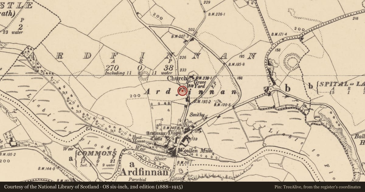
Slide toward Today to fade the historical sheet and see the modern map underneath.
David Rumsey Map Collection, Stanford LibrariesDavid Rumsey Map Collection, Stanford LibrariesDavid Rumsey Map Collection, Stanford LibrariesDavid Rumsey Map Collection, Stanford Libraries
4 historical maps cover this location, the earliest the 1790 map "Composite: Ireland." (David Rumsey Map Collection, Stanford Libraries).
Historical maps covering this location
- 1790 · Composite: Ireland. (David Rumsey Map Collection, Stanford Libraries)
- 1882 · Ireland (southern half). (David Rumsey Map Collection, Stanford Libraries)
- 1891 · Ireland 16 (David Rumsey Map Collection, Stanford Libraries)
- 1904 · Sheet 13. (David Rumsey Map Collection, Stanford Libraries)
This record in the National Monuments Service's Historic Environment Viewer ↗
The National Monuments Service's description
In the 7th century St. Fionan Lobhar founded a monastery in Ardfinnan. This is located c. 300m N of Ardfinnan village on the site of the C of I church (Killanin and Duignan, 1967, 66). In 1185 Ardfinnan castle was built by Prince John of England (ibid). The settlement was granted borough status in 1558 by James, the fourth Earl of Ormond (Curtis 1941, COD vol. 5, 108-9). The precise location of this settlement is unknown, it is thus unlocated within the townlands of Ardfinnan and Commons (Ardfinnan Par.). However, it is likely that the settlement was located between the castle and the church. (FitzPatrick and Farrelly 1993, 1-5).
Compiled by: Jean Farrelly
Date of revised upload: 29 September 2021
References
Killanin, M.M. and Duignan, M.V. 1962 Shell Guide to Ireland. London. Ebury Press.
Farrelly, J. and FitzPatrick, E. 1993 Urban archaeological survey - county Tipperary (South Riding) (2 vols.). Unpublished report commissioned by the Office of Public Works, Dublin.
Curtis, E. 1941 (ed.) Calendar of Ormond Deeds 1547-1584 A.D. Vol. 5. Dublin. The Stationery Office.
Nearby in the register
- Graveyardunder 1 mi
- Churchunder 1 mi
- Tomb - chest tombunder 1 mi
- Earthworkunder 1 mi
Other entries of the same register within about three miles of this one, by straight line.