Sites and Monuments Record · Ireland
House - Bronze Age
Curraghatoor, County Tipperary South, Ireland
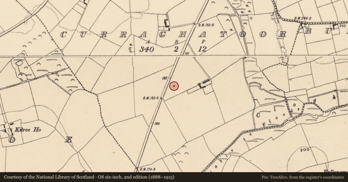
The record
- Townland
- Curraghatoor
- County
- Tipperary South
- Country
- Ireland
- First-edition OS map
- Not indicated
- Latest-edition OS map
- Not indicated
- Coordinates
- 52.31266, -7.98872
- SMR number
- TS087-007003-
Slide toward Today to fade the historical sheet and see the modern map underneath.
David Rumsey Map Collection, Stanford LibrariesDavid Rumsey Map Collection, Stanford LibrariesDavid Rumsey Map Collection, Stanford LibrariesDavid Rumsey Map Collection, Stanford Libraries
4 historical maps cover this location, the earliest the 1790 map "Composite: Ireland." (David Rumsey Map Collection, Stanford Libraries).
Historical maps covering this location
- 1790 · Composite: Ireland. (David Rumsey Map Collection, Stanford Libraries)
- 1882 · Ireland (southern half). (David Rumsey Map Collection, Stanford Libraries)
- 1891 · Ireland 16 (David Rumsey Map Collection, Stanford Libraries)
- 1904 · Sheet 13. (David Rumsey Map Collection, Stanford Libraries)
This record in the National Monuments Service's Historic Environment Viewer ↗
The National Monuments Service's description
On ground sloping gently to S, in gently undulating terrain, under pasture. No visible trace of houses above ground, though visible as cropmarks on an aerial photograph (GSI May 1977 R. 594/S. 691). House excavated (Excavation number E00455) in 1987-1991 (Doody 2007, 22-25, Structure 4). Though completely excavated only sections of the S and E survived as remainder was probably destroyed when then a later house (TS087-007----) was built over most of this house (ibid. 22). Circular house (diam. c. 5m) was defined by foundation trenches with associated stake- and post-holes, with a probably entrance on the E side (Wth c. 1m) (ibid.). Internal features include a shallow off-centre hearth with a cluster of stake-holes on its W edge and two post-holes on the S side which may represent a spit over the fire, there were also other internal post-holes, function unknown (ibid. 22-25). Three Bronze Age houses (TS087-007002-), (TS087-007001-) and (TS087-007004) are located c. 4m to N, c. 5m to NE and c. 3m to S respectively.
Compiled by: Jean Farrelly
Date of upload: 20 November 2013
References
Doody, M. 2007 The excavation. In M. Doody, Excavations at Curraghatoor, Co. Tipperary, 9-35. Department of Archaeology. University College Cork.
Nearby in the register
- House - Bronze Ageunder 1 mi
- House - Bronze Ageunder 1 mi
- House - Bronze Ageunder 1 mi
- House - Bronze Ageunder 1 mi
Other entries of the same register within about three miles of this one, by straight line.