Sites and Monuments Record · Ireland
Structure
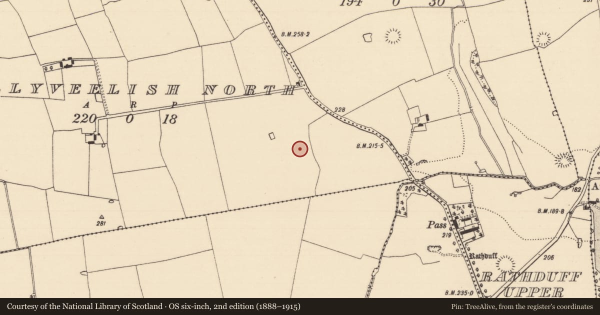
Ballyveelish North, County Tipperary South, Ireland
The record
- Townland
- Ballyveelish North
- County
- Tipperary South
- Country
- Ireland
- First-edition OS map
- Not indicated
- Latest-edition OS map
- Not indicated
- Coordinates
- 52.39424, -7.73572
- SMR number
- TS077-046009-
Slide toward Today to fade the historical sheet and see the modern map underneath.
David Rumsey Map Collection, Stanford LibrariesDavid Rumsey Map Collection, Stanford LibrariesDavid Rumsey Map Collection, Stanford LibrariesDavid Rumsey Map Collection, Stanford Libraries
4 historical maps cover this location, the earliest the 1790 map "Composite: Ireland." (David Rumsey Map Collection, Stanford Libraries).
Historical maps covering this location
- 1790 · Composite: Ireland. (David Rumsey Map Collection, Stanford Libraries)
- 1882 · Ireland (southern half). (David Rumsey Map Collection, Stanford Libraries)
- 1891 · Ireland 16 (David Rumsey Map Collection, Stanford Libraries)
- 1904 · Sheet 13. (David Rumsey Map Collection, Stanford Libraries)
This record in the National Monuments Service's Historic Environment Viewer ↗
The National Monuments Service's description
Partial excavation of this moated site took place in 1981-2 in advance of the Cork-Dublin gas pipeline (Doody 1987, 74-87). There was no visible trace of the monument above ground before excavation. Structure D consisted of an irregular spread of roughly squared stones (dims. 6m N-S; 2.5m E-W), among which was a rotary quern and was interpreted as a collapsed stone structure (ibid. 78-9). The small quantity of finds and animal bones from the moated site may imply a short period of occupation (ibid. 81). Finds consistent with a 13th/14th century date were recovered from the monument.
Compiled by: Jean Farrelly
Date of upload: 26 August 2011
References
Doody, M.G. 1987 Moated Site, Ballyveelish 1, Co. Tipperary. In R. M. Cleary, M. F. Hurley and E. A. Twohig (eds.), Archaeological excavations on the Cork-Dublin gas pipeline (1981-82), 74-87. Department of Archaeology, UCC, Cork.
Nearby in the register
- Moated siteunder 1 mi
- House - medievalunder 1 mi
- House - medievalunder 1 mi
- House - medievalunder 1 mi
Other entries of the same register within about three miles of this one, by straight line.