Sites and Monuments Record · Ireland
Architectural fragment
Fethard, County Tipperary South, Ireland
The record
- Townland
- Fethard
- County
- Tipperary South
- Country
- Ireland
- First-edition OS map
- Not indicated
- Latest-edition OS map
- Not indicated
- Coordinates
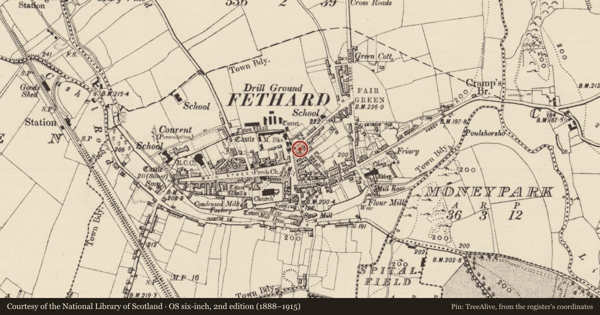
- 52.46681, -7.69364
- SMR number
- TS070-040111-
Slide toward Today to fade the historical sheet and see the modern map underneath.
David Rumsey Map Collection, Stanford LibrariesDavid Rumsey Map Collection, Stanford LibrariesDavid Rumsey Map Collection, Stanford LibrariesDavid Rumsey Map Collection, Stanford Libraries
4 historical maps cover this location, the earliest the 1790 map "Composite: Ireland." (David Rumsey Map Collection, Stanford Libraries).
Historical maps covering this location
- 1790 · Composite: Ireland. (David Rumsey Map Collection, Stanford Libraries)
- 1882 · Ireland (southern half). (David Rumsey Map Collection, Stanford Libraries)
- 1891 · Ireland 16 (David Rumsey Map Collection, Stanford Libraries)
- 1904 · Sheet 13. (David Rumsey Map Collection, Stanford Libraries)
This record in the National Monuments Service's Historic Environment Viewer ↗
The National Monuments Service's description
Reused as a quoin c. 0.2m from the base of the wall which terminates the northern side of the SW end of Barrack St. The architectural fragment (dims. 0.57m x 0.36m; H 0.33m) is positioned on its side and is roughly dressed with drafted margin and a moulding (Wth 0.08m) along the lower edge. The stone, formerly a jamb, may have come from the doorway in the W façade of the former Stokes Hotel, a 17th-century building (TS070-040008-) which is c. 30m to the SW. This building had a doorway with similar dressing and moulding, portion of which was removed when a window was inserted in the late 19th century. (Farrelly and FitzPatrick 1993, 102-03).
Compiled by: Jean Farrelly
Date of upload: 18 May 2015
References
Farrelly, J. and FitzPatrick, E. 1993 Urban archaeological survey - county Tipperary (South Riding). Unpublished field notes, including photographs, for report commissioned by the Office of Public Works, Dublin.
Farrelly, J. and FitzPatrick, E. 1993 Urban archaeological survey - county Tipperary (South Riding) (2 vols.). Unpublished report commissioned by the Office of Public Works, Dublin.
Nearby in the register
- Structureunder 1 mi
- House - 16th/17th centuryunder 1 mi
- House - 17th centuryunder 1 mi
- House - 17th centuryunder 1 mi
Other entries of the same register within about three miles of this one, by straight line.