Sites and Monuments Record · Ireland
Kiln - corn-drying
Monadreela, County Tipperary South, Ireland
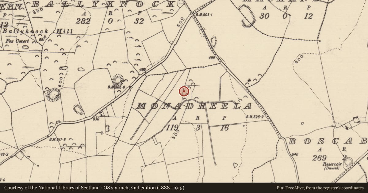
The record
- Townland
- Monadreela
- County
- Tipperary South
- Country
- Ireland
- First-edition OS map
- Not indicated
- Latest-edition OS map
- Not indicated
- Coordinates
- 52.53077, -7.85944
- SMR number
- TS061-171----
Slide toward Today to fade the historical sheet and see the modern map underneath.
David Rumsey Map Collection, Stanford LibrariesDavid Rumsey Map Collection, Stanford LibrariesDavid Rumsey Map Collection, Stanford LibrariesDavid Rumsey Map Collection, Stanford Libraries
4 historical maps cover this location, the earliest the 1790 map "Composite: Ireland." (David Rumsey Map Collection, Stanford Libraries).
Historical maps covering this location
- 1790 · Composite: Ireland. (David Rumsey Map Collection, Stanford Libraries)
- 1882 · Ireland (southern half). (David Rumsey Map Collection, Stanford Libraries)
- 1891 · Ireland 16 (David Rumsey Map Collection, Stanford Libraries)
- 1904 · Sheet 13. (David Rumsey Map Collection, Stanford Libraries)
This record in the National Monuments Service's Historic Environment Viewer ↗
The National Monuments Service's description
On an E-facing slope on a roughly E-W orientated ridge, an area c. 70m x 60m was excavated in advance of construction of the N8 Cashel Bypass and N74 Link Road South. An oval pit (dims. 1.23m x 1.09m; D 0.51m) with gradually sloping sides, except the northern side which slopes steeply to a flat base. The primary fill consisted of sandy clay with ash and charcoal flecks below a charcoal rich layer (Hughes and O'Flanagan 2003, 15, 31). The pit had been disturbed by later animal or tree-root activity (ibid.). A fulacht fia (TS061-169----) with associated burnt spreads was excavated c. 60m to the NE and a ring-ditch (TS061-161----) was excavated c. 40m to the NNW.
Compiled by: Jean Farrelly
Date of upload: 26 August 2011
References
Hughes, J. and O'Flanagan, N. 2003 N8 Cashel Bypass & N74 Link Road: phase 2 archaeological investigations. Site No. 7. Licence No. 03E0300. Unpublished archaeological excavation report, National Monuments Service, Department of Arts, Heritage and the Gaeltacht, Dublin.
Nearby in the register
- Excavation - miscellaneousunder 1 mi
- Ring-ditchunder 1 mi
- Fulacht fiaunder 1 mi
- Burnt pitunder 1 mi
Other entries of the same register within about three miles of this one, by straight line.