Sites and Monuments Record · Ireland
Graveslab
Crohane Lower, County Tipperary South, Ireland
The record
- Townland
- Crohane Lower
- County
- Tipperary South
- Country
- Ireland
- First-edition OS map
- Not indicated
- Latest-edition OS map
- Not indicated
- Coordinates
- 52.56116, -7.59110
- SMR number
- TS055-041004-
Slide toward Today to fade the historical sheet and see the modern map underneath.
David Rumsey Map Collection, Stanford LibrariesDavid Rumsey Map Collection, Stanford LibrariesDavid Rumsey Map Collection, Stanford LibrariesDavid Rumsey Map Collection, Stanford Libraries
4 historical maps cover this location, the earliest the 1790 map "Composite: Ireland." (David Rumsey Map Collection, Stanford Libraries).
Historical maps covering this location
- 1790 · Composite: Ireland. (David Rumsey Map Collection, Stanford Libraries)
- 1869 · Ireland. (David Rumsey Map Collection, Stanford Libraries)
- 1891 · Ireland 16 (David Rumsey Map Collection, Stanford Libraries)
- 1904 · Sheet 13. (David Rumsey Map Collection, Stanford Libraries)
This record in the National Monuments Service's Historic Environment Viewer ↗
The National Monuments Service's description
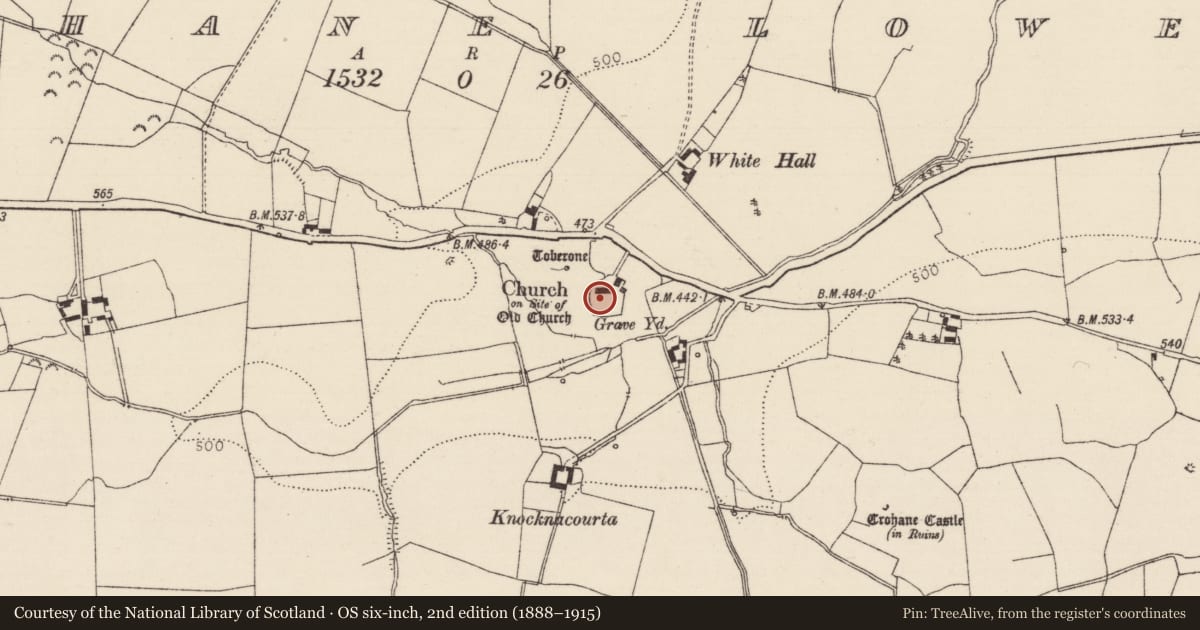
In the graveyard (TS055-041002-) of the medieval church (TS055-041001-) at Crohane Lower, immediately to the S of the C of I church there is a poorly preserved 17th-century graveslab the inscription of which is now worn away. This graveslab may be the memorial of Lieutenant Humphrey Minchin of Shangarry who was one of Cromwell's officers (White 1892, 27).
Compiled by: Jean Farrelly
Date of upload: 26 August 2011
References
White, J.D. 1892 Anthologia Tipperariensis. Cashel.
Nearby in the register
Other entries of the same register within about three miles of this one, by straight line.