Sites and Monuments Record · Ireland
Road - class 1 togher
Leigh,Longfordpass South, County Tipperary North, Ireland
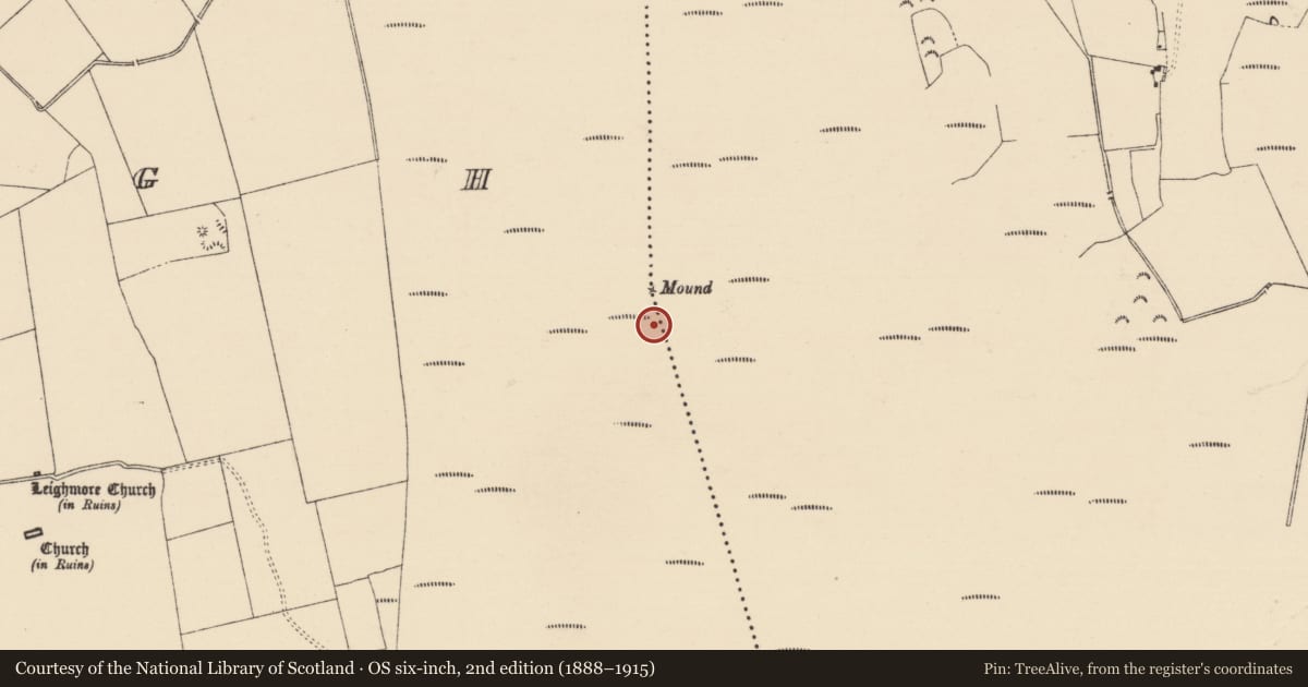
The record
- Townland
- Leigh,Longfordpass South
- County
- Tipperary North
- Country
- Ireland
- First-edition OS map
- NULL
- Latest-edition OS map
- Not indicated
- Coordinates
- 52.67234, -7.65645
- SMR number
- TN042-056003-
Slide toward Today to fade the historical sheet and see the modern map underneath.
David Rumsey Map Collection, Stanford LibrariesDavid Rumsey Map Collection, Stanford LibrariesDavid Rumsey Map Collection, Stanford LibrariesDavid Rumsey Map Collection, Stanford Libraries
4 historical maps cover this location, the earliest the 1790 map "Composite: Ireland." (David Rumsey Map Collection, Stanford Libraries).
Historical maps covering this location
- 1790 · Composite: Ireland. (David Rumsey Map Collection, Stanford Libraries)
- 1869 · Ireland. (David Rumsey Map Collection, Stanford Libraries)
- 1891 · Ireland 16 (David Rumsey Map Collection, Stanford Libraries)
- 1904 · Sheet 13. (David Rumsey Map Collection, Stanford Libraries)
This record in the National Monuments Service's Historic Environment Viewer ↗
The National Monuments Service's description
Situated in high ground in bogland with Liathmore churches (TN042-055001/003) nearby to the W and another togher (TN042-039001/002) to the N. One of these toghers (TN042-056001) was discovered in the 1960s and recorded by Rynne (1965a, 138-44) who described the togher as a roadway (Wth 8m) running in a WSW-ENE direction consisting of a brushwood and gravel track anchored in position by wooden pegs (L 1m; diam. 4cm) located c. 1m below the surface of the bog. Excavation revealed that the trackway was built with rounded beams laid side by side positioned transversely across the line of the togher. The beams used were of oak, ash and birch while the pegs were of birch and hazel. This togher was being destroyed by peat milling when inspected by the Irish Archaeological Wetland Unit (UCD) in 1995.
Other toghers (TN042-056002) in the immediate vicinity include a brushwood and plank togher (Wth 1m; D 0.1m) and a togher of split planks in poor condition (Wth 1.46m; D 0.06m) orientated E-W (pers. comm. Irish Archaeological Wetland Unit (UCD)).
Compiled by: Jean Farrelly and Caimin O'Brien
Date of upload/revision: 22 September 2008
Nearby in the register
- Road - unclassified togherunder 1 mi
- Road - unclassified togherunder 1 mi
- Moundunder 1 mi
- Souterrainunder 1 mi
Other entries of the same register within about three miles of this one, by straight line.