Sites and Monuments Record · Ireland
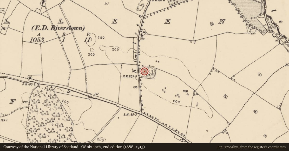
Castle - motte and bailey
Killeen (Loughkeen Par.), County Tipperary North, Ireland
The record
- Townland
- Killeen (Loughkeen Par.)
- County
- Tipperary North
- Country
- Ireland
- First-edition OS map
- Hachured
- Latest-edition OS map
- Hachured
- Coordinates
- 53.09131, -7.93824
- SMR number
- TN005-021----
Slide toward Today to fade the historical sheet and see the modern map underneath.
David Rumsey Map Collection, Stanford LibrariesDavid Rumsey Map Collection, Stanford LibrariesDavid Rumsey Map Collection, Stanford LibrariesDavid Rumsey Map Collection, Stanford Libraries
4 historical maps cover this location, the earliest the 1790 map "Composite: Ireland." (David Rumsey Map Collection, Stanford Libraries).
Historical maps covering this location
- 1790 · Composite: Ireland. (David Rumsey Map Collection, Stanford Libraries)
- 1811 · Ireland. (David Rumsey Map Collection, Stanford Libraries)
- 1869 · Ireland. (David Rumsey Map Collection, Stanford Libraries)
- 1891 · Ireland 16 (David Rumsey Map Collection, Stanford Libraries)
This record in the National Monuments Service's Historic Environment Viewer ↗
The National Monuments Service's description
Situated inside a grove of trees on a natural rise of ground in undulating countryside with good views of the surrounding countryside. Present remains consist of a low flat-topped circular mound (top diam. 17m N-S; H 3.5m) enclosed by a V-shape fosse (D 1.5m) with a large well preserved rectangular-shaped bailey (int. dims. 43m E-W x 48m N-S) to the E. The bailey and motte are enclosed by two earthen banks with intervening fosse with entrance gap (Wth 5m) at NE. Preservation Order No. 43/1976 was placed on this monument in December 1976. A Fógra sign is located on top of the enclosing bank on the W side of the motte.
The above description is derived from 'The Archaeological Inventory of County Tipperary. Vol. 1 - North Tipperary' compiled by Jean Farrelly and Caimin O'Brien (Dublin: Stationery Office, 2002). In certain instances the entries have been revised and updated in the light of recent research.
Compiled and revised by: Caimin O'Brien
Date of revised upload: 11 June 2015
This monument is subject to a preservation order made under the National Monuments Acts 1930 to 2014 (PO no. 43/1976).
Nearby in the register
- Earthworkunder 1 mi
- Bridgeunder 1 mi
- Bridgeunder 1 mi
- Castle - tower houseunder 1 mi
Other entries of the same register within about three miles of this one, by straight line.