Sites and Monuments Record · Ireland
Children's burial ground
Portland, County Tipperary North, Ireland
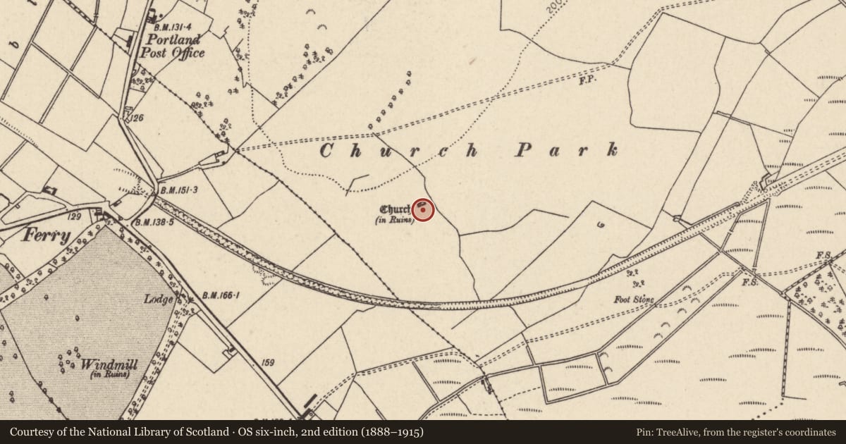
The record
- Townland
- Portland
- County
- Tipperary North
- Country
- Ireland
- First-edition OS map
- NULL
- Latest-edition OS map
- NULL
- Coordinates
- 53.09000, -8.17532
- SMR number
- TN004-008003-
Slide toward Today to fade the historical sheet and see the modern map underneath.
David Rumsey Map Collection, Stanford LibrariesDavid Rumsey Map Collection, Stanford LibrariesDavid Rumsey Map Collection, Stanford LibrariesDavid Rumsey Map Collection, Stanford Libraries
4 historical maps cover this location, the earliest the 1790 map "Composite: Ireland." (David Rumsey Map Collection, Stanford Libraries).
Historical maps covering this location
- 1790 · Composite: Ireland. (David Rumsey Map Collection, Stanford Libraries)
- 1811 · Ireland. (David Rumsey Map Collection, Stanford Libraries)
- 1869 · Ireland. (David Rumsey Map Collection, Stanford Libraries)
- 1891 · Ireland 16 (David Rumsey Map Collection, Stanford Libraries)
This record in the National Monuments Service's Historic Environment Viewer ↗
The National Monuments Service's description
Situated on high ground in undulating countryside with extensive views. A rectangular late medieval church (TN004-008001) with a barrel-vaulted priest's chamber at the W end of church. The walls are constructed from roughly coursed limestone rubble with base-batter at the W end to support the barrel vault of the priest's chamber. According to local tradition the graveyard (TN004-008002) was located to the S of the church and was used as a burial ground until the early 1800s. All that survives of the graveyard is a slight scarp possibly indicating the graveyard boundary. There are no remains of any burial markers in the area to the S of the church. According to Gleeson (1951-2, 105) the church was a chantry rather than a parish church possibly associated with the MacEgan family and the graveyard, which was gone in his time, was used as a place for burying unbaptised children.
Compiled by: Caimin O'Brien.
Date of upload: 22 September 2008
Nearby in the register
- Graveyardunder 1 mi
- Churchunder 1 mi
- Designed landscape featureunder 1 mi
- Castle - unclassifiedunder 1 mi
Other entries of the same register within about three miles of this one, by straight line.