Sites and Monuments Record · Ireland
Standing stone
Carricknahorna West, County Sligo, Ireland
The record
- Townland
- Carricknahorna West
- County
- Sligo
- Country
- Ireland
- First-edition OS map
- Not indicated
- Latest-edition OS map
- Not indicated
- Coordinates
- 54.05004, -8.37839
- SMR number
- SL040-107----
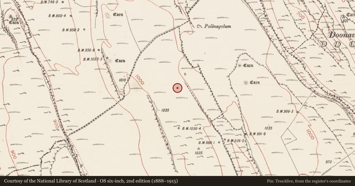
Slide toward Today to fade the historical sheet and see the modern map underneath.
David Rumsey Map Collection, Stanford LibrariesDavid Rumsey Map Collection, Stanford LibrariesDavid Rumsey Map Collection, Stanford LibrariesDavid Rumsey Map Collection, Stanford Libraries
4 historical maps cover this location, the earliest the 1790 map "Composite: Ireland." (David Rumsey Map Collection, Stanford Libraries).
Historical maps covering this location
- 1790 · Composite: Ireland. (David Rumsey Map Collection, Stanford Libraries)
- 1869 · Ireland. (David Rumsey Map Collection, Stanford Libraries)
- 1891 · Ireland 16 (David Rumsey Map Collection, Stanford Libraries)
- 1922 · Ireland - northern section. (David Rumsey Map Collection, Stanford Libraries)
This record in the National Monuments Service's Historic Environment Viewer ↗
The National Monuments Service's description
In rough, heather-covered upland pasture in the Bricklieve Mountains, located in a shallow natural hollow on the E side of a broad plateau on top of a NNE−SSW ridge. The stone stands close to the break of slope on the E side of the ridge where ground falls away steeply into a narrow valley. It is overlooked immediately to S by a higher level of the ridge top. Upright block of limestone (H c. 2m; L 1.73m NE−SW at base; T max. c. 1.05m at base) which narrows from a broad base to a pointed top, giving the stone a pronounced triangular shape. The stone has a rough surface, partly colonised by lichen, moss and grass. There are two passage tombs (SL040-101----; SL040-102----) on a parallel ridge to E; it is possible that these were visible in the past from the stone but they are now low, heather-covered mounds and cannot be seen. Two other passage tombs (SL040-095----; SL040-096----) are located on ridge tops c. 440m to NNW and 340m to NW respectively, but are not visible from the standing stone.
Compiled by: Jane O'Shaughnessy
Revised upload: 2 September 2016
Nearby in the register
- Megalithic tomb - passage tombunder 1 mi
- Megalithic tomb - passage tombunder 1 mi
- Megalithic tomb - passage tombunder 1 mi
- Megalithic tomb - passage tombunder 1 mi
Other entries of the same register within about three miles of this one, by straight line.