Sites and Monuments Record · Ireland
Architectural fragment
Templehouse Demesne, County Sligo, Ireland
The record
- Townland
- Templehouse Demesne
- County
- Sligo
- Country
- Ireland
- Latest-edition OS map
- Not indicated
- Coordinates
- 54.11184, -8.58493
- SMR number
- SL033-026006-
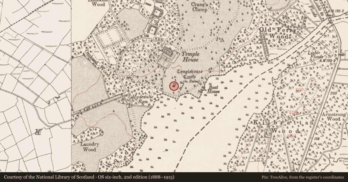
Slide toward Today to fade the historical sheet and see the modern map underneath.
David Rumsey Map Collection, Stanford LibrariesDavid Rumsey Map Collection, Stanford LibrariesDavid Rumsey Map Collection, Stanford LibrariesDavid Rumsey Map Collection, Stanford Libraries
4 historical maps cover this location, the earliest the 1790 map "Composite: Ireland." (David Rumsey Map Collection, Stanford Libraries).
Historical maps covering this location
- 1790 · Composite: Ireland. (David Rumsey Map Collection, Stanford Libraries)
- 1841 · Ireland. (David Rumsey Map Collection, Stanford Libraries)
- 1869 · Ireland. (David Rumsey Map Collection, Stanford Libraries)
- 1891 · Ireland 16 (David Rumsey Map Collection, Stanford Libraries)
This record in the National Monuments Service's Historic Environment Viewer ↗
The National Monuments Service's description
Lying on the ground within the Templehouse complex of ruined buildings (SL033-026002-) is a limestone mantelpiece (1.2m x 0.4m x 0.3m) which probably comes from the nearby ruined early 17th-century house (SL033-026004-). The stone has been damaged in places but its basic form is clear. On its front face are two side-by-side rectangular panels which bear a Latin inscription which O'Rorke (1878, 320) described as 'three pious proverbs'. Above the panels the face curves outwards, and above this is the flat top-surface of the mantel. The appearance of this stone is compatible with the date of the house, 1627.
Compiled by: Archaeological Survey Unit, UCC with revisions by Patrick F. O'Donovan and Paul Walsh
Date of upload: 20 June 2011
Nearby in the register
- Castle - hall-houseunder 1 mi
- Bawnunder 1 mi
- Religious house - Knights Templarsunder 1 mi
- Cross - High crossunder 1 mi
Other entries of the same register within about three miles of this one, by straight line.