Sites and Monuments Record · Ireland
Altar
Dromard, County Sligo, Ireland
The record
- Townland
- Dromard
- County
- Sligo
- Country
- Ireland
- Latest-edition OS map
- Not indicated
- Coordinates
- 54.21001, -8.65804
- SMR number
- SL019-151005-
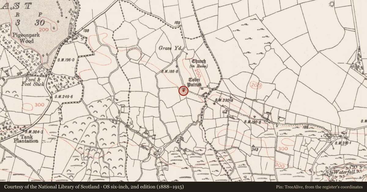
Slide toward Today to fade the historical sheet and see the modern map underneath.
David Rumsey Map Collection, Stanford LibrariesDavid Rumsey Map Collection, Stanford LibrariesDavid Rumsey Map Collection, Stanford LibrariesDavid Rumsey Map Collection, Stanford Libraries
4 historical maps cover this location, the earliest the 1790 map "Composite: Ireland." (David Rumsey Map Collection, Stanford Libraries).
Historical maps covering this location
- 1790 · Composite: Ireland. (David Rumsey Map Collection, Stanford Libraries)
- 1869 · Ireland. (David Rumsey Map Collection, Stanford Libraries)
- 1891 · Ireland 16 (David Rumsey Map Collection, Stanford Libraries)
- 1904 · Sheet 4. (David Rumsey Map Collection, Stanford Libraries)
This record in the National Monuments Service's Historic Environment Viewer ↗
The National Monuments Service's description
Within a small wall enclosure in which are also two adjoining holy wells dedicated to St. Patrick (SL019-151001-) and St. Brigid (SL019-151002-) respectively. Recorded by Wood-Martin (1882, 358) as 'a simple altar shaded by a spreading oak tree' it consists of a plain rectangular stone structure (1.35m x 1.75m) bearing a Latin inscription dated 1821. Local information records that it came from the old church at Chapel Street, Sligo, and was moved to this location' (SMR (1989) file).
Compiled by: Paul Walsh
Date of upload: 19 January 2011
Nearby in the register
- Ritual site - holy wellunder 1 mi
- Ritual site - holy wellunder 1 mi
- Cross-inscribed stoneunder 1 mi
- Crucifixion plaqueunder 1 mi
Other entries of the same register within about three miles of this one, by straight line.