Sites and Monuments Record · Ireland
Souterrain
Cloonaderavally, County Sligo, Ireland
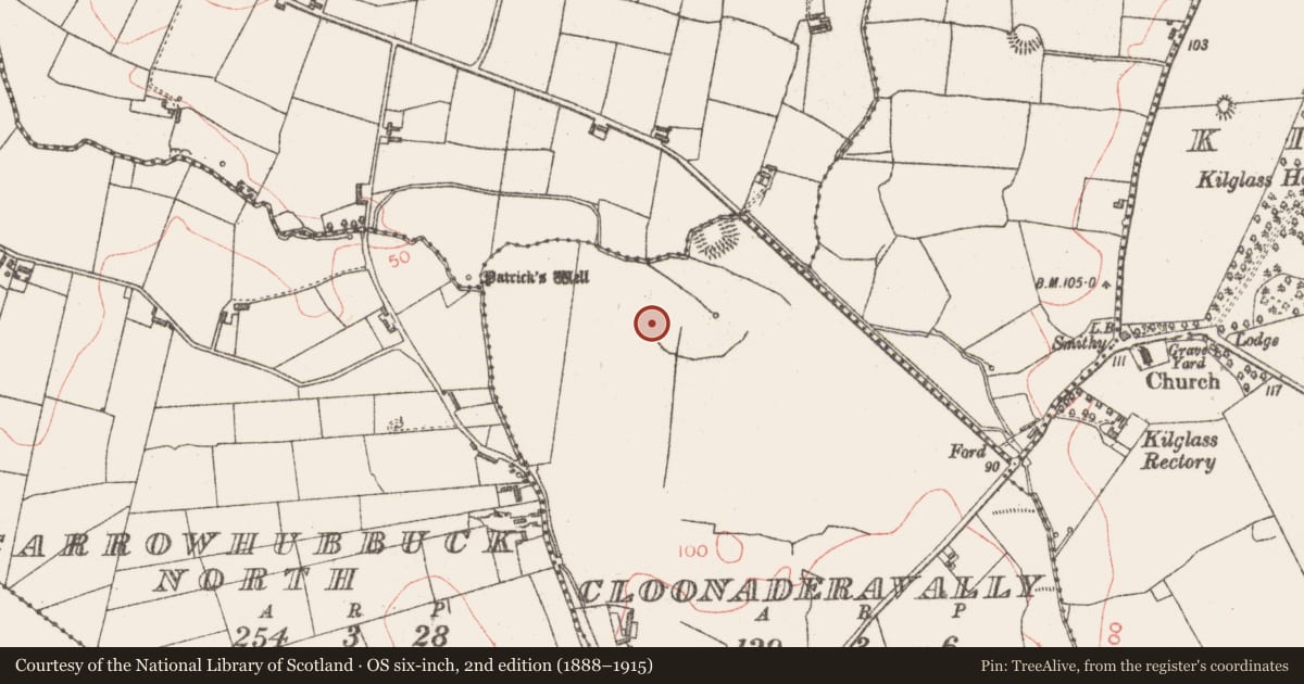
The record
- Townland
- Cloonaderavally
- County
- Sligo
- Country
- Ireland
- First-edition OS map
- Not indicated
- Latest-edition OS map
- Not indicated
- Coordinates
- 54.23104, -9.07081
- SMR number
- SL016-061001-
Slide toward Today to fade the historical sheet and see the modern map underneath.
David Rumsey Map Collection, Stanford LibrariesDavid Rumsey Map Collection, Stanford LibrariesDavid Rumsey Map Collection, Stanford LibrariesDavid Rumsey Map Collection, Stanford Libraries
4 historical maps cover this location, the earliest the 1790 map "Composite: Ireland." (David Rumsey Map Collection, Stanford Libraries).
Historical maps covering this location
- 1790 · Composite: Ireland. (David Rumsey Map Collection, Stanford Libraries)
- 1841 · Ireland. (David Rumsey Map Collection, Stanford Libraries)
- 1869 · Ireland. (David Rumsey Map Collection, Stanford Libraries)
- 1891 · Ireland 16 (David Rumsey Map Collection, Stanford Libraries)
This record in the National Monuments Service's Historic Environment Viewer ↗
The National Monuments Service's description
Situated on the NE side of a low ridge in undulating pasture. Wood-Martin (1882, 113-4) recorded a 'subterranean chamber, with several smaller chambers off'. Two adjacent passages have been identified. Both are walled with drystone masonry and roofed with massive lintels. The first (visible L 5-6m; Wth 1.25m; H 0.8m) is aligned E-W and appears to terminate at a wall at its E end. At its W end, at surface level, an area of surface subsidence (L c. 6m N-S; Wth 2.4m) hints that a subsidary passage may extending N at right angles from the main passage. The second passage, which is located a short distance E of the first, is also aligned E-W. At its E end is an area of collapse (L 2m E-W) which opens into a small passage (L c. 3m E-W; Wth c. 1m) that terminates at a stone wall at its W end. There is no obvious link between the two passages but, given their proximity and alignment, it is probable that they are part of the same structure.
Compiled by: Patrick F. O'Donovan
Date of upload: 19 January 2011
Nearby in the register
- Moated siteunder 1 mi
- Penitential stationunder 1 mi
- Ritual site - holy wellunder 1 mi
- Enclosureunder 1 mi
Other entries of the same register within about three miles of this one, by straight line.