Sites and Monuments Record · Ireland
Stone sculpture
Aughris (Tireragh By.), County Sligo, Ireland
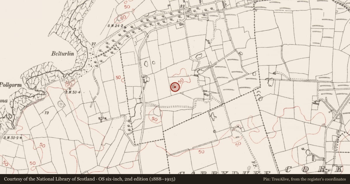
The record
- Townland
- Aughris (Tireragh By.)
- County
- Sligo
- Country
- Ireland
- First-edition OS map
- Not indicated
- Latest-edition OS map
- Not indicated
- Coordinates
- 54.26553, -8.77924
- SMR number
- SL012-122003-
Slide toward Today to fade the historical sheet and see the modern map underneath.
David Rumsey Map Collection, Stanford LibrariesDavid Rumsey Map Collection, Stanford LibrariesDavid Rumsey Map Collection, Stanford LibrariesDavid Rumsey Map Collection, Stanford Libraries
4 historical maps cover this location, the earliest the 1790 map "Composite: Ireland." (David Rumsey Map Collection, Stanford Libraries).
Historical maps covering this location
- 1790 · Composite: Ireland. (David Rumsey Map Collection, Stanford Libraries)
- 1869 · Ireland. (David Rumsey Map Collection, Stanford Libraries)
- 1891 · Ireland 16 (David Rumsey Map Collection, Stanford Libraries)
- 1904 · Sheet 4. (David Rumsey Map Collection, Stanford Libraries)
This record in the National Monuments Service's Historic Environment Viewer ↗
The National Monuments Service's description
In a souterrain (SL012-122002-). The landowner told of how that a carved stone slab was removed from here in the 1960s or 1970s. It bore a carving in relief of a human figure which appeared to be wearing a crown. There may also have been writing or symbols carved into the stone. Following a death in the family the stone was given away and its current location is unknown.
Compiled by: Patrick F. O'Donovan
Date of upload: 19 January 2011
Nearby in the register
- Souterrainunder 1 mi
- Ringfort - rathunder 1 mi
- Ringfort - rathunder 1 mi
- Megalithic tomb - passage tombunder 1 mi
Other entries of the same register within about three miles of this one, by straight line.